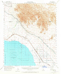
1956 Map of Frink
USGS Topo · Published 1965About this map
Salton Sea dominates the southwestern quadrant of this mid-century desert landscape, where the shoreline meets specialized recreation and military zones. The area around Bombay Beach and Salton Sea State Park contrasts with the massive Chocolate Mountain Aerial Gunnery Range and the Seaplane Landing Area located offshore. Along the northeastern edge of the water, the Wister Waterfowl Management Area indicates a deliberate effort to manage wildlife within this arid sink.
Find a feature on this map
55 named features on this map. Tap any name to fly to it.
Don’t see what you’re looking for? This feature index may not catch every label — zoom into the map to look around manually.
Map Details
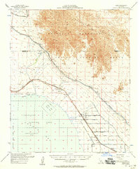
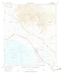
Editions of this 1956 Frink Map
3 editions found
Other maps of this area

1940 · Kane Spring
USGS Topo · 1:62,500

1940 · Iris
USGS Topo · 1:62,500

1940 · Frink
USGS Topo · 1:62,500

1940 · Cottonwood Spring
USGS Topo · 1:62,500

1940 · Iris Pass
USGS Topo · 1:62,500

1940 · Canyon Spring
USGS Topo · 1:62,500

1940 · Durmid
USGS Topo · 1:62,500

1943 · Canyon Spring
USGS Topo · 1:62,500

1944 · Cottonwood Spring
USGS Topo · 1:62,500

1944 · Durmid
USGS Topo · 1:62,500