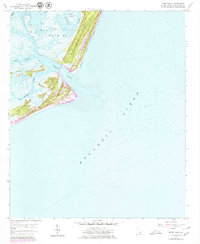
1958 Map of Fripps Inlet
USGS Topo · Published 1979About this map
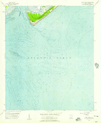
Hunting Island State Park and the surrounding barrier islands dominate this coastal survey, which documents the shoreline during the late 1950s with updates into the late 1970s. The map illustrates a complex network of tidal waterways, including Harbor River and Story River, which separate the mainland marsh from the sandy reaches of Hunting Island and Fripps Island. This environment is defined by its shifting sands and inlets, specifically where Fripps Inlet meets the Atlantic Ocean. The data provides a detailed record of the topography and hydrography before significant modern development altered these shores. Coastal researchers can examine the intricate drainage of Old House Creek and Johnson Creek, which weave through Old Island and Harbor Island, revealing the natural state of the Lowcountry coast during this period of transition.
Find a feature on this map
12 named features on this map. Tap any name to fly to it.
Don’t see what you’re looking for? This feature index may not catch every label — zoom into the map to look around manually.
Map Details
Editions of this 1958 Fripps Inlet Map
4 editions found
Other maps of this area

1920 · St. Helena Sound
USGS Topo · 1:62,500

1920 · Hilton Head
USGS Topo · 1:62,500

1944 · Fort Fremont
USGS Topo · 1:62,500

1945 · Hilton Head
USGS Topo · 1:62,500

1947 · Savannah
USGS Topo · 1:250,000

1948 · St. Helena Sound
USGS Topo · 1:62,500

1948 · Savannah
USGS Topo · 1:250,000

1956 · Frogmore
USGS Topo · 1:24,000
1956 · Edisto Beach
USGS Topo · 1:24,000
1956 · St. Helena Sound
USGS Topo · 1:24,000