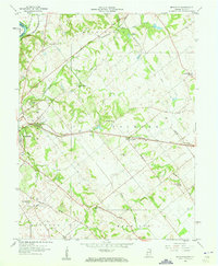
1958 Map of Fritchton
USGS Topo · Published 1960About this map
The rail corridors of the Baltimore and Ohio, Pennsylvania, and Chicago and Eastern Illinois converge east of Vincennes, shaping the agricultural landscape of Knox County. This mid-century survey illustrates a community deeply rooted in its local institutions, from the St Vincents Orphanage and County Farm to a network of rural sanctuaries like Upper Indiana Ch and Welton Chapel.
Find a feature on this map
38 named features on this map. Tap any name to fly to it.
Don’t see what you’re looking for? This feature index may not catch every label — zoom into the map to look around manually.
Map Details
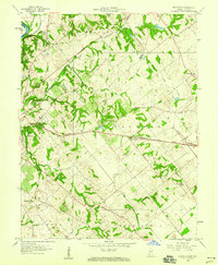
Editions of this 1958 Fritchton Map
2 editions found
Other maps of this area

1915 · Vincennes
USGS Topo · 1:62,500

1917 · Birds
USGS Topo · 1:62,500

1942 · Fritchton
USGS Topo · 1:24,000

1942 · Birds
USGS Topo · 1:62,500

1943 · Oaktown
USGS Topo · 1:24,000

1943 · Bicknell
USGS Topo · 1:24,000

1944 · Fritchton
USGS Topo · 1:24,000

1944 · Monroe City
USGS Topo · 1:24,000

1944 · Wheatland
USGS Topo · 1:24,000

1944 · Iona
USGS Topo · 1:24,000