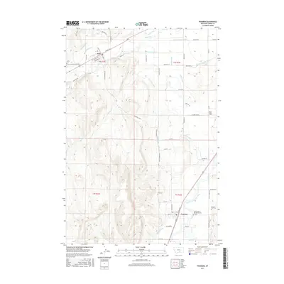
2017 Map of Fromberg
USGS Topo · Published 2017About this map
Fromberg and Joliet anchor this rural Montana landscape, which is defined by a sophisticated network of irrigation systems necessary for high-plains agriculture. The Clarks Fork Yellowstone River flows through the eastern portion of the quadrangle, feeding a complex hierarchy of waterworks including the Dutton Canal, Bartlett Canal, and the Young-Pickering Ditch. These man-made watercourses follow the natural contours of the land, supporting farms situated between the river valley and the rising elevations to the west.
Find a feature on this map
66 named features on this map. Tap any name to fly to it.
Don’t see what you’re looking for? This feature index may not catch every label — zoom into the map to look around manually.
Map Details
Editions of this 2017 Fromberg Map
This is the sole edition of this map. No revisions or reprints were ever made.
Other maps of this area

1892 · Stillwater
USGS Topo · 1:125,000

1932 · Red Lodge No 1
USGS Topo · 1:48,000

1954 · Billings
USGS Topo · 1:250,000

1956 · Bridger
USGS Topo · 1:24,000

1956 · Silesia
USGS Topo · 1:24,000

1956 · Fromberg
USGS Topo · 1:24,000

1956 · Rapids
USGS Topo · 1:24,000
1956 · Boyd
USGS Topo · 1:24,000

1956 · Edgar
USGS Topo · 1:24,000

1956 · The Big Slide
USGS Topo · 1:24,000