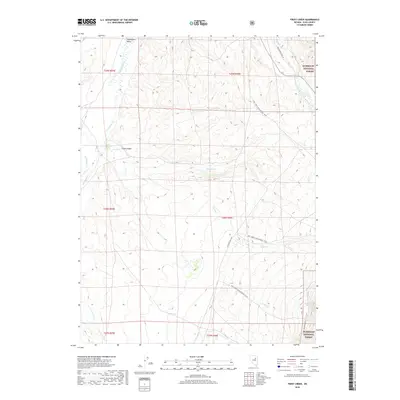
2018 Map of Frost Creek
USGS Topo · Published 2018About this map
Huntington Valley serves as a prominent geographic anchor in this 2018 survey of Elko County, where the high desert terrain meets the western fringes of the Humboldt National Forest. The landscape is defined by a series of drainage systems, most notably Frost Creek emerging from Frost Canyon and the winding course of Huntington Creek. High-elevation water sources are vital features here, including Frost Springs, Platt Spring, and Humboldt Spring.
Find a feature on this map
27 named features on this map. Tap any name to fly to it.
Don’t see what you’re looking for? This feature index may not catch every label — zoom into the map to look around manually.
Map Details
Editions of this 2018 Frost Creek Map
This is the sole edition of this map. No revisions or reprints were ever made.
Other maps of this area

1934 · Jiggs
USGS Topo · 1:125,000

1937 · Jiggs
USGS Topo · 1:125,000

1955 · Elko
USGS Topo · 1:250,000

1956 · Robinson Mtn
USGS Topo · 1:62,500

1958 · Elko
USGS Topo · 1:250,000

1959 · Jiggs
USGS Topo · 1:62,500

1959 · Railroad Pass
USGS Topo · 1:62,500

1959 · Sherman Mtn
USGS Topo · 1:62,500

1962 · Elko
USGS Topo · 1:250,000

1965 · Elko
USGS Topo · 1:250,000