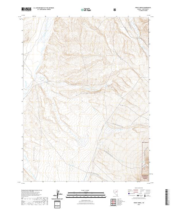
2021 Map of Frost Creek
USGS Topo · Published 2021About this map
Huntington Valley serves as the dominant geographic feature of this Elko County landscape, where the high desert meets the rising slopes of the Humboldt National Forest. This 2021 survey illustrates a sparse but vital water network essential for life in the Great Basin, anchored by Frost Springs, Platt Spring, and Humboldt Spring. The terrain is deeply incised by drainages such as Frost Canyon and Brown Canyon, which channel seasonal flows like Huntington Cr and Pearl Cr toward the valley floor. Transportation patterns reveal the area's transition from early travel to modern management, with Old State Hwy 218 and the Right Ranch Trl cutting through the sagebrush. The prevalence of named springs and remote forest development roads suggests a landscape shaped by ranching interests and federal land stewardship in one of Nevada's most characteristic high-elevation basins.
Find a feature on this map
31 named features on this map. Tap any name to fly to it.
Don’t see what you’re looking for? This feature index may not catch every label — zoom into the map to look around manually.
Map Details
Editions of this 2021 Frost Creek Map
This is the sole edition of this map. No revisions or reprints were ever made.
Other maps of this area

1934 · Jiggs
USGS Topo · 1:125,000

1937 · Jiggs
USGS Topo · 1:125,000

1955 · Elko
USGS Topo · 1:250,000

1956 · Robinson Mtn
USGS Topo · 1:62,500

1958 · Elko
USGS Topo · 1:250,000

1959 · Jiggs
USGS Topo · 1:62,500

1959 · Railroad Pass
USGS Topo · 1:62,500

1959 · Sherman Mtn
USGS Topo · 1:62,500

1962 · Elko
USGS Topo · 1:250,000

1965 · Elko
USGS Topo · 1:250,000