Loading...
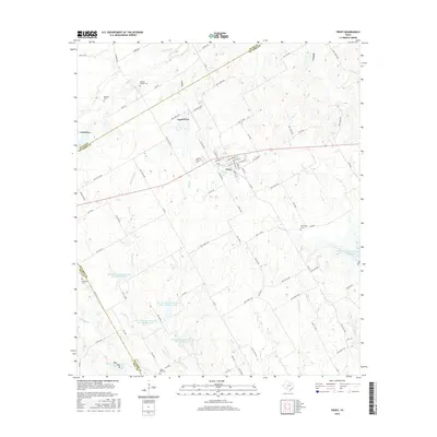
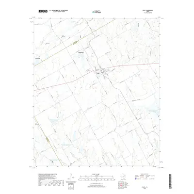
Loading map...2022 Map of Frost
USGS Topo · Published 2022About this map
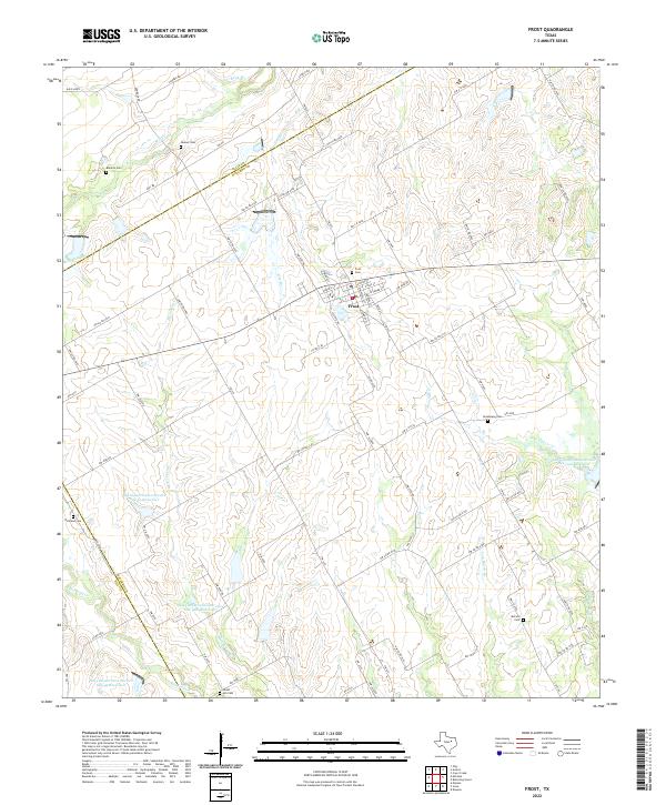
Frost serves as the central hub for this corner of the Texas Blackland Prairies, situated at the junction of FM 667 and several county roads. The landscape is heavily marked by the water management efforts of the mid-20th century, notably the numerous Soil Conservation Service reservoirs such as Site 99 Reservoir and Site 49 Reservoir. These features reflect a managed rural environment where hydrology is vital for agriculture.
Find a feature on this map
89 named features on this map. Tap any name to fly to it.
Don’t see what you’re looking for? This feature index may not catch every label — zoom into the map to look around manually.
Map Details
Date Portrayed2022
Date Published2022
PublisherU.S. Geological Survey
Map TypeTopographic
Scale1:24,000
Physical Dimensions24 x 29 inches
Editions of this 2022 Frost Map
This is the sole edition of this map. No revisions or reprints were ever made.
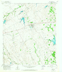
Historical Maps of Frost Through Time
6 maps found
Featured Locations
Source Details
SourceU.S. Geological Survey
CopyrightPublic Domain