
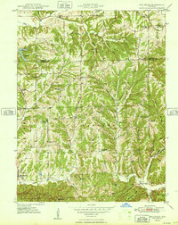
1948 Map of Fruitdale
USGS Topo · Published 1948About this map
Fruitdale and the surrounding hill country of the Jackson and Hamblen townships appear here during the late 1940s, a landscape defined by deeply etched hollows and ridges. The Illinois Central railroad cuts through the western edge of the sheet, providing a vital transport link for small settlements like Bean Blossom. This era shows a high density of rural institutions, including the Spearsville Sch, Walker Sch, and Sprunica Sch, alongside numerous country churches like Bethlehem Ch and Unity Ch.
Find a feature on this map
59 named features on this map. Tap any name to fly to it.
Don’t see what you’re looking for? This feature index may not catch every label — zoom into the map to look around manually.
Map Details
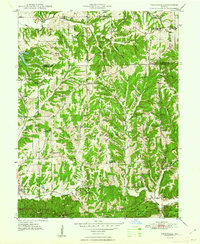
Editions of this 1948 Fruitdale Map
3 editions found
Other maps of this area

1942 · Franklin
USGS Topo · 1:125,000

1946 · Belmont
USGS Topo · 1:24,000

1947 · Nashville
USGS Topo · 1:24,000

1947 · Franklin
USGS Topo · 1:62,500

1948 · Franklin
USGS Topo · 1:24,000

1948 · New Bellsville
USGS Topo · 1:24,000

1948 · Trafalgar
USGS Topo · 1:24,000

1948 · Nineveh
USGS Topo · 1:24,000

1948 · Morgantown
USGS Topo · 1:24,000

1949 · Nashville
USGS Topo · 1:24,000