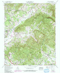
1965 Map of Fruitland
USGS Topo · Published 1991About this map
The Fruitland Bible Institute and its surrounding community anchor the southeastern landscape of this mid-1960s survey along the Henderson and Buncombe County line. To the west, the campus of Christ School sits near the Brookwood Golf Club and the settlement of Fletcher. The terrain is defined by a dense network of high ridges and gaps, including Burney Mountain and Barnhill Mountain, which separate the watersheds of Cane Creek and Hoopers Creek.
Find a feature on this map
79 named features on this map. Tap any name to fly to it.
Don’t see what you’re looking for? This feature index may not catch every label — zoom into the map to look around manually.
Map Details
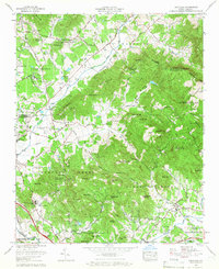
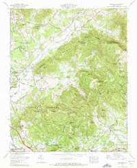
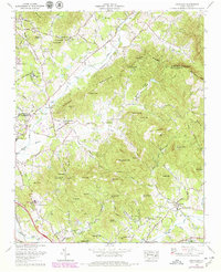
Editions of this 1965 Fruitland Map
4 editions found
Other maps of this area

1894 · Asheville
USGS Topo · 1:125,000

1900 · Mount Mitchell
USGS Topo · 1:125,000

1901 · Asheville
USGS Topo · 1:125,000

1902 · Mount Mitchell
USGS Topo · 1:125,000

1905 · Pisgah
USGS Topo · 1:125,000

1906 · Pisgah
USGS Topo · 1:125,000

1907 · Saluda
USGS Topo · 1:125,000

1935 · Horse Shoe
USGS Topo · 1:24,000

1935 · Batcave
USGS Topo · 1:24,000

1935 · Hendersonville
USGS Topo · 1:24,000