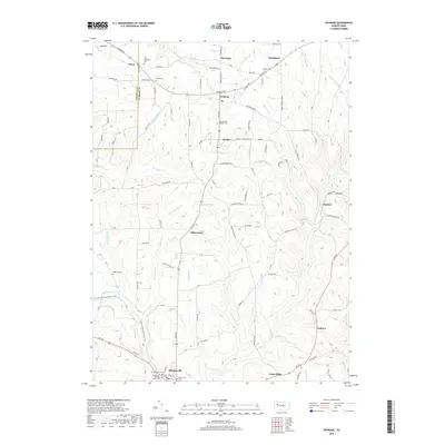
2019 Map of Fryburg
USGS Topo · Published 2019About this map
Shippenville and its surrounding rural hamlets are centered in this modern topographic survey, which shows a landscape defined by deeply incised creek valleys and small upland plateaus. The borough of Shippenville at the southern edge is a focal point of transport, where the Shippenville Methodist Church and Emmanuel Cem stand as longstanding community anchors. Moving north, the map reveals a series of closely spaced settlements including Paint Mills, Millerstown, and Marble, each often associated with a local parish or cemetery such as Saint Michael Catholic Cem. The drainage pattern is particularly intricate here, with Paint Cr and Little Paint Cr carving through the terrain. This map captures the persistent layout of these Pennsylvania hill towns, where residential clusters like Fryburg and Venus remain connected by a network of winding backroads such as Old Fryburg Rd and Sandrock Rd.
Find a feature on this map
67 named features on this map. Tap any name to fly to it.
Don’t see what you’re looking for? This feature index may not catch every label — zoom into the map to look around manually.
Map Details
Editions of this 2019 Fryburg Map
This is the sole edition of this map. No revisions or reprints were ever made.
Other maps of this area

1906 · Clarion
USGS Topo · 1:62,500

1907 · Clarion
USGS Topo · 1:62,500

1907 · Foxburg
USGS Topo · 1:62,500

1908 · Foxburg
USGS Topo · 1:62,500

1922 · Oil City
USGS Topo · 1:48,000

1922 · Tionesta
USGS Topo · 1:62,500

1924 · Oil City
USGS Topo · 1:62,500

1924 · Tionesta
USGS Topo · 1:62,500

1943 · Oil City
USGS Topo · 1:62,500

1946 · Tionesta
USGS Topo · 1:62,500