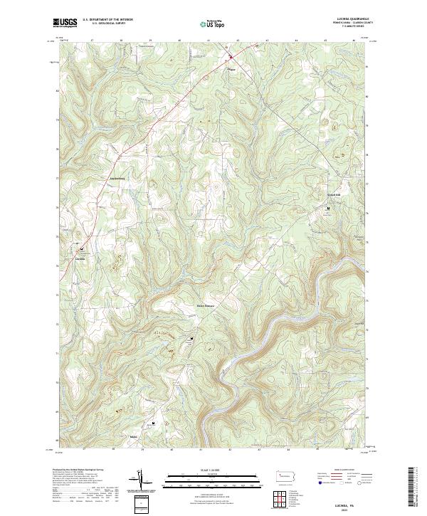
2023 Map of Fryburg
USGS Topo · Published 2023About this map
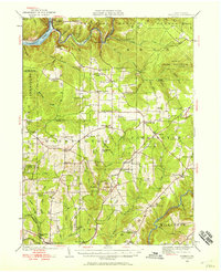
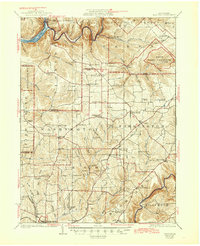
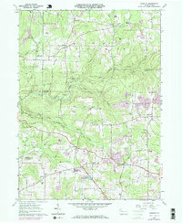
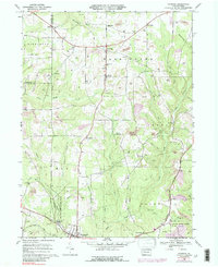
Fryburg and the surrounding plateau of Clarion County are defined by a network of small upland settlements and the deep incisions of the East Sandy Creek and Licking Creek watersheds. This survey captures a rural landscape where community life centers on historic crossroads and burial grounds, such as Saint Michael Catholic Cem and Emmanuel Cem. The southern edge of the map is anchored by the borough of Shippenville, while smaller hamlets like Marble and Paint Mills dot the high ground between the runs.
Find a feature on this map
75 named features on this map. Tap any name to fly to it.
Don’t see what you’re looking for? This feature index may not catch every label — zoom into the map to look around manually.
Map Details
Editions of this 2023 Fryburg Map
This is the sole edition of this map. No revisions or reprints were ever made.
Historical Maps of Millerstown Through Time
9 maps found