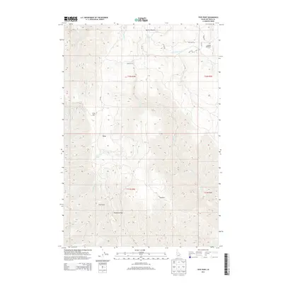
2013 Map of Frye Point
USGS Topo · Published 2013About this map
Craig Mtn and Wapshilla Ridge define the high country of Nez Perce County on this 2013 topographic survey. The landscape is marked by a network of drainage systems including Captain John Cr and China Garden Cr, which carve deep through the plateau. Small settlements and specialized landmarks like Zaza and Madden Corral are connected by a few critical roads, most notably Zaza Rd and Larabee Rd.
Find a feature on this map
28 named features on this map. Tap any name to fly to it.
Don’t see what you’re looking for? This feature index may not catch every label — zoom into the map to look around manually.
Map Details
Editions of this 2013 Frye Point Map
This is the sole edition of this map. No revisions or reprints were ever made.
Other maps of this area

1946 · Limekiln Rapids
USGS Topo · 1:62,500

1955 · Pullman
USGS Topo · 1:250,000

1955 · Grangeville
USGS Topo · 1:250,000

1958 · Pullman
USGS Topo · 1:250,000

1959 · Grangeville
USGS Topo · 1:250,000

1963 · Jim Creek Butte
USGS Topo · 1:24,000

1963 · Rattlesnake Ridge
USGS Topo · 1:24,000

1963 · Wapshilla Creek
USGS Topo · 1:24,000

1967 · Hoover Point
USGS Topo · 1:24,000

1968 · Waha
USGS Topo · 1:24,000