
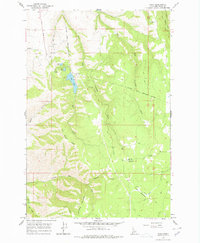
1968 Map of Waha
USGS Topo · Published 1971About this map
Lake Waha and the small settlement of Waha anchor this late 1960s survey of the high plateau and canyon country in Nez Perce, Idaho. The landscape is defined by the Nez Perce Indian Reservation Boundary cutting through the northern reaches, where complex water management infrastructure like an Aqueduct Canal and a Fish Hatchery near Springs indicate the area's vital role in local resource distribution.
Find a feature on this map
26 named features on this map. Tap any name to fly to it.
Don’t see what you’re looking for? This feature index may not catch every label — zoom into the map to look around manually.
Map Details
Editions of this 1968 Waha Map
2 editions found
Other maps of this area

1946 · Limekiln Rapids
USGS Topo · 1:62,500

1955 · Pullman
USGS Topo · 1:250,000

1958 · Pullman
USGS Topo · 1:250,000

1958 · Sweetwater
USGS Topo · 1:24,000

1958 · Lewiston Orchards South
USGS Topo · 1:24,000

1958 · Lewiston Orchards
USGS Topo · 1:62,500

1958 · Culdesac
USGS Topo · 1:62,500

1967 · Hoover Point
USGS Topo · 1:24,000
1968 · Winchester West
USGS Topo · 1:24,000
1968 · Captain John Rapids
USGS Topo · 1:24,000