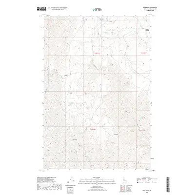
2020 Map of Frye Point
USGS Topo · Published 2020About this map
Wapshilla Ridge and the high elevations of Craig Mtn define this section of the Idaho highlands within Nez Perce County. The settlement of Zaza serves as a central landmark for this upland territory, which is characterized by a complex network of drainage basins including China Garden Creek and Captain John Creek. The geography here transitions from open meadows such as Benton Meadows and Larabee Meadows in the north to the sharp descent of Cave Gulch in the south.
Find a feature on this map
26 named features on this map. Tap any name to fly to it.
Don’t see what you’re looking for? This feature index may not catch every label — zoom into the map to look around manually.
Map Details
Editions of this 2020 Frye Point Map
This is the sole edition of this map. No revisions or reprints were ever made.
Other maps of this area

1946 · Limekiln Rapids
USGS Topo · 1:62,500

1955 · Pullman
USGS Topo · 1:250,000

1955 · Grangeville
USGS Topo · 1:250,000

1958 · Pullman
USGS Topo · 1:250,000

1959 · Grangeville
USGS Topo · 1:250,000

1963 · Jim Creek Butte
USGS Topo · 1:24,000

1963 · Rattlesnake Ridge
USGS Topo · 1:24,000

1963 · Wapshilla Creek
USGS Topo · 1:24,000

1967 · Hoover Point
USGS Topo · 1:24,000

1968 · Waha
USGS Topo · 1:24,000