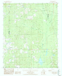
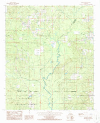
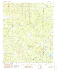
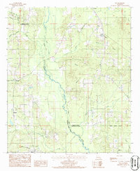
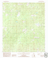
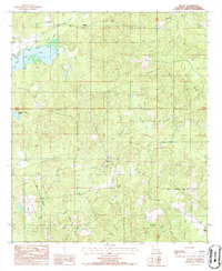
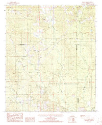
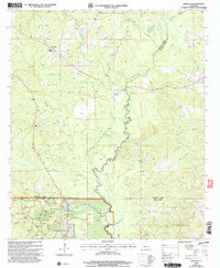
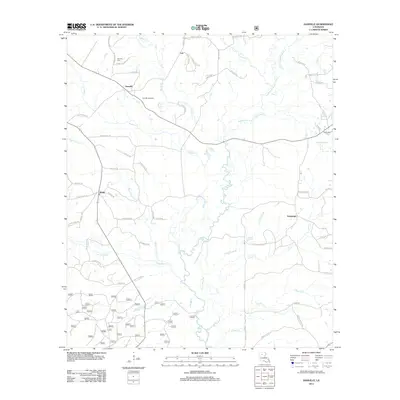
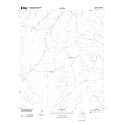
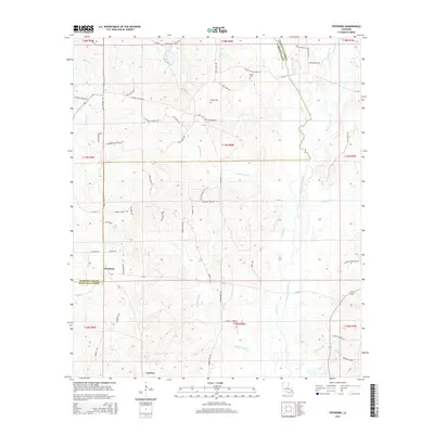
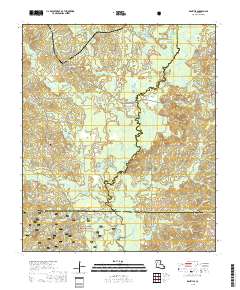
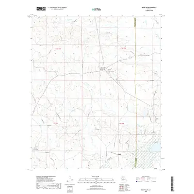
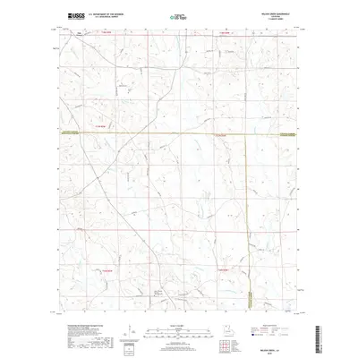
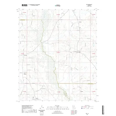
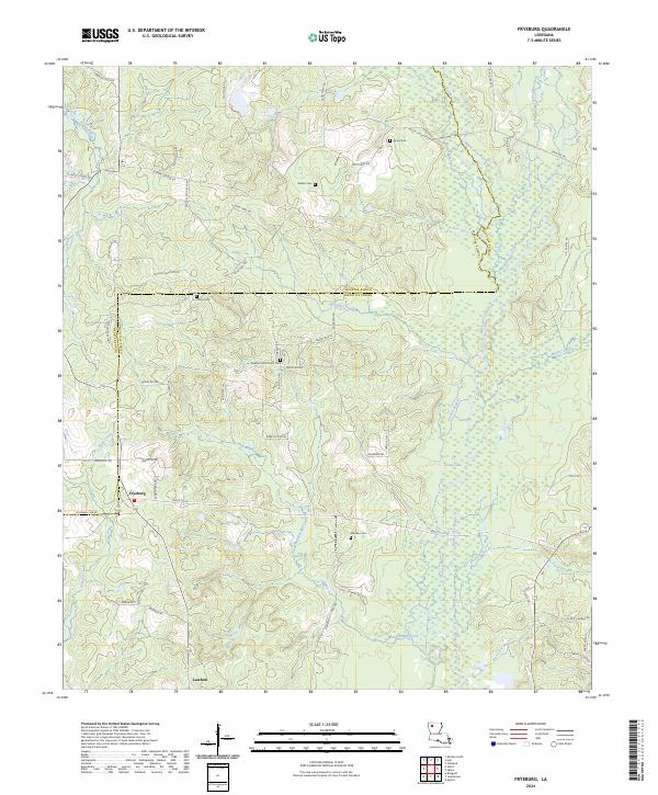
1986 Map of Fryeburg
USGS Topo · Published 1986About this map
The boundary between Webster Parish and Bienville Parish runs through this North Louisiana landscape, where the small communities of Fryeburg and Lawhon serve as the primary centers of settlement. The terrain is defined by a dense network of waterways including Black Lake Bayou and Madden Mill Creek, which wind through the lowlands alongside numerous branches and creeks.
Find a feature on this map
20 named features on this map. Tap any name to fly to it.
Don’t see what you’re looking for? This feature index may not catch every label — zoom into the map to look around manually.
Map Details
Editions of this 1986 Fryeburg Map
This is the sole edition of this map. No revisions or reprints were ever made.
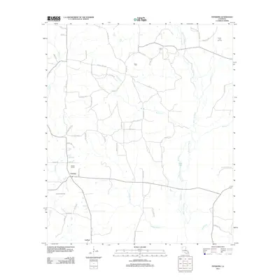
Historical Maps of Fryeburg Through Time
43 maps found
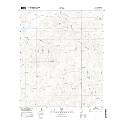
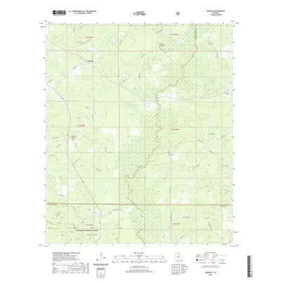
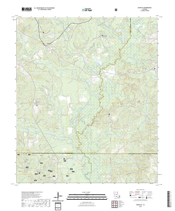
1986 Danville
Bienville Parish, LA
1986 Fryeburg
Bienville Parish, LA
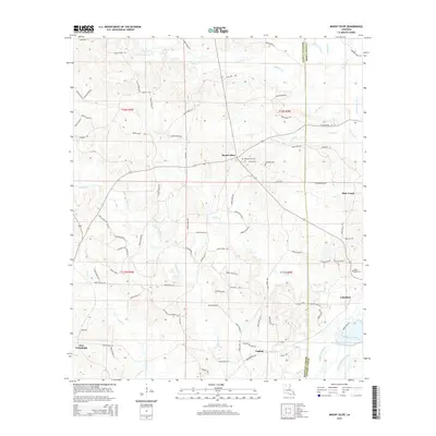
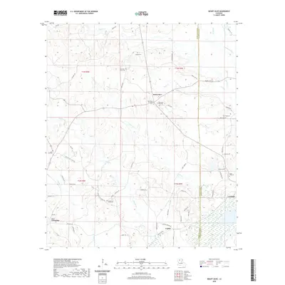
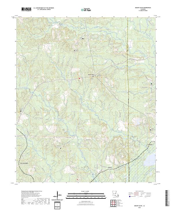
1986 Mount Olive
Bienville Parish, LA
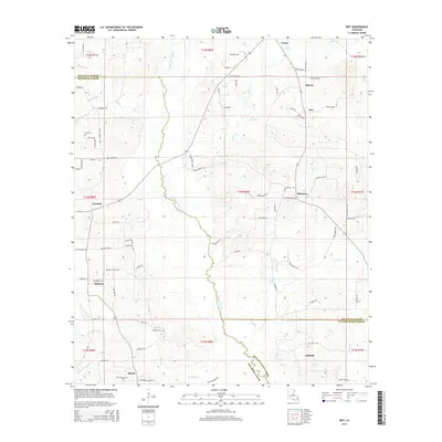
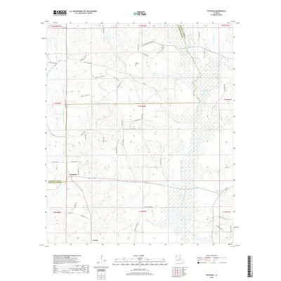
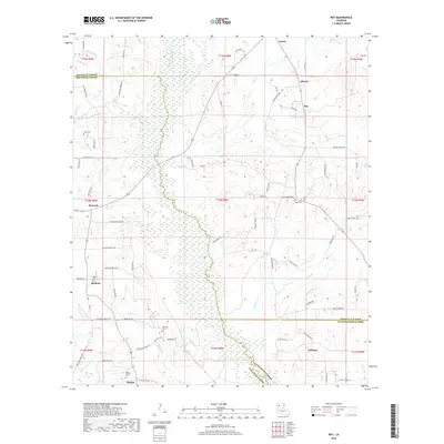
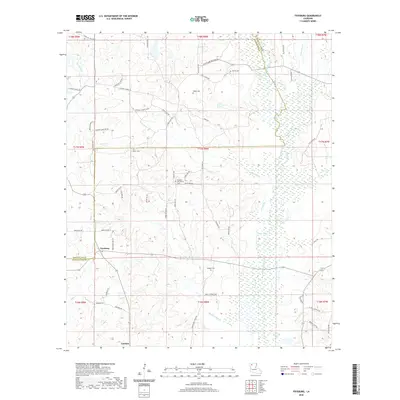
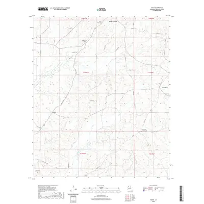
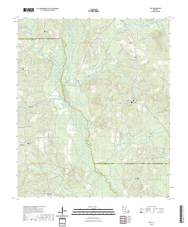
1986 Roy
Bienville Parish, LA
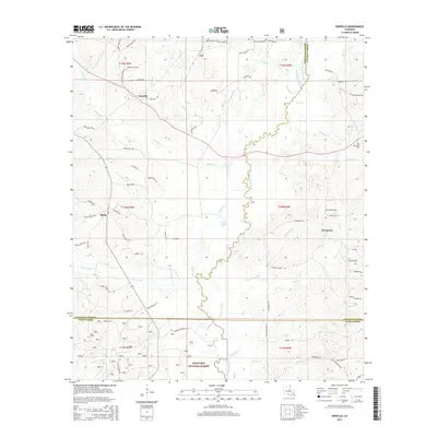
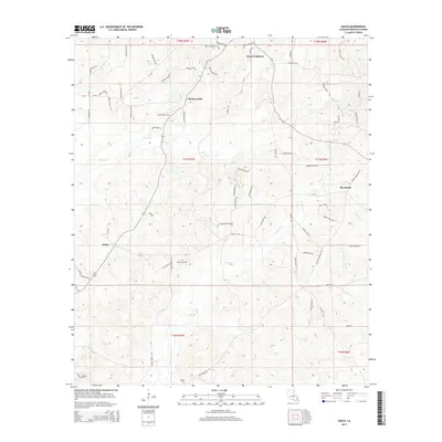
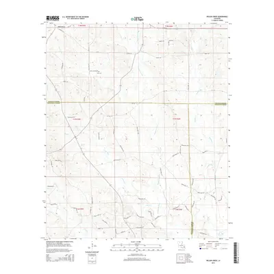
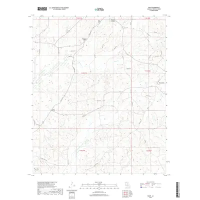
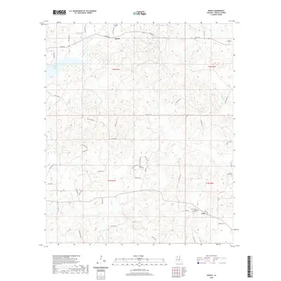
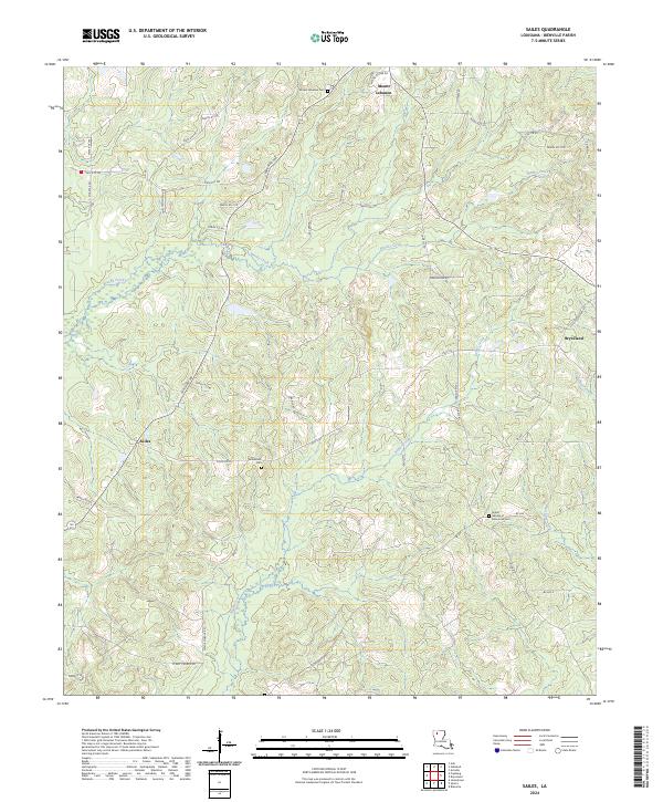
1986 Sailes
Bienville Parish, LA
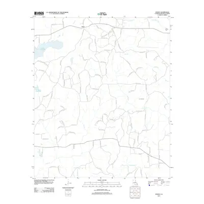
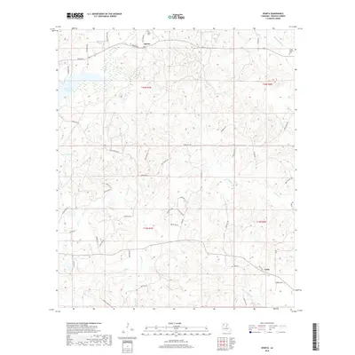
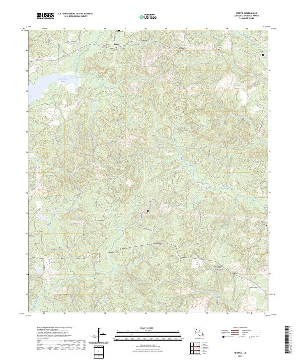
1986 Sparta
Bienville Parish, LA
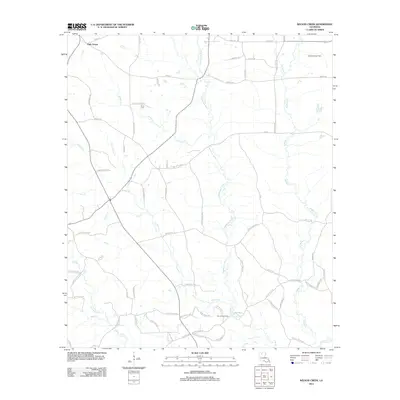
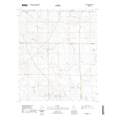
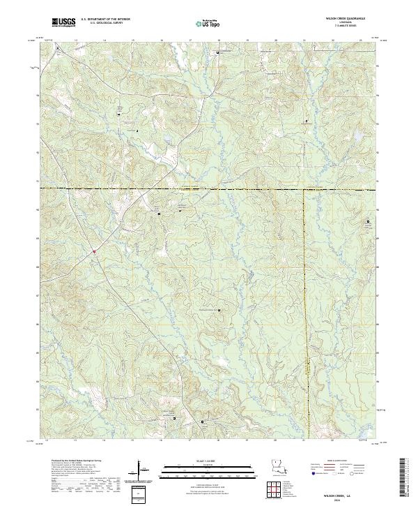
1986 Wilson Creek
Bienville Parish, LA
2003 Danville
Bienville Parish, LA
2012 Danville
Bienville Parish, LA
2012 Fryeburg
Bienville Parish, LA
2012 Mount Olive
Bienville Parish, LA
2012 Roy
Bienville Parish, LA
2012 Sailes
Bienville Parish, LA
2012 Sparta
Bienville Parish, LA
2012 Wilson Creek
Bienville Parish, LA
2015 Danville
Bienville Parish, LA
2015 Fryeburg
Bienville Parish, LA
2015 Mount Olive
Bienville Parish, LA
2015 Roy
Bienville Parish, LA
2015 Sailes
Bienville Parish, LA
2015 Sparta
Bienville Parish, LA
2015 Wilson Creek
Bienville Parish, LA
2018 Danville
Bienville Parish, LA
2018 Fryeburg
Bienville Parish, LA
2018 Mount Olive
Bienville Parish, LA
2018 Roy
Bienville Parish, LA
2018 Sailes
Bienville Parish, LA
2018 Sparta
Bienville Parish, LA
2018 Wilson Creek
Bienville Parish, LA
2020 Danville
Bienville Parish, LA
2020 Fryeburg
Bienville Parish, LA
2020 Mount Olive
Bienville Parish, LA
2020 Roy
Bienville Parish, LA
2020 Sailes
Bienville Parish, LA
2020 Sparta
Bienville Parish, LA
2020 Wilson Creek
Bienville Parish, LA
2024 Danville
Bienville Parish, LA
2024 Fryeburg
Bienville Parish, LA
2024 Mount Olive
Bienville Parish, LA
2024 Roy
Bienville Parish, LA
2024 Sailes
Bienville Parish, LA
2024 Sparta
Bienville Parish, LA
2024 Wilson Creek
Bienville Parish, LA