
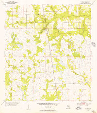
1955 Map of Ft. Green
USGS Topo · Published 1956About this map
Ft Green and Ft Green Springs serve as the primary focal points of this mid-century Florida interior, where the Seaboard Air Line railroad cuts a straight north-south path through the landscape. The geography is defined by an intricate network of waterways, including the winding Payne Creek and the marshy expanses of Gum Swamp and Mitchell Hammock. To the south, the small settlement of Vandolah sits along the rail line near the confluence of several branches.
Find a feature on this map
18 named features on this map. Tap any name to fly to it.
Don’t see what you’re looking for? This feature index may not catch every label — zoom into the map to look around manually.
Map Details
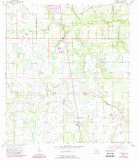
Editions of this 1955 Ft. Green Map
3 editions found
Other maps of this area

1955 · Bowling Green
USGS Topo · 1:24,000

1955 · Wauchula
USGS Topo · 1:24,000

1955 · Baird
USGS Topo · 1:24,000

1956 · Ona
USGS Topo · 1:24,000

1956 · Myakka Head
USGS Topo · 1:24,000

1956 · Duette NE
USGS Topo · 1:24,000

1956 · Zolfo Springs
USGS Topo · 1:24,000

1956 · Duette
USGS Topo · 1:24,000

1956 · Tampa
USGS Topo · 1:250,000

1956 · Fort Pierce
USGS Topo · 1:250,000