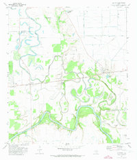
1971 Map of Fulshear
USGS Topo · Published 1973About this map
The Brazos River carves a dramatic, winding course across this 1970s landscape, defining the southeastern boundaries of the area. The river's oxbows and meanders contrast with the straight lines of the Southern Pacific railroad, which links the established settlements of Simonton and Fulshear. This era shows a transition from traditional rural patterns to modern infrastructure, evidenced by the numerous pipelines cutting across the terrain and the presence of a Gas Well and Gravel Pit.
Find a feature on this map
32 named features on this map. Tap any name to fly to it.
Don’t see what you’re looking for? This feature index may not catch every label — zoom into the map to look around manually.
Map Details
Editions of this 1971 Fulshear Map
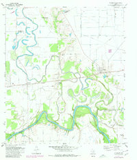
2 editions found
Other maps of this area

1915 · Katy
USGS Topo · 1:24,000

1950 · Houston
USGS Topo · 1:250,000

1953 · Seguin
USGS Topo · 1:250,000

1955 · Brookshire
USGS Topo · 1:62,500

1955 · Richmond
USGS Topo · 1:62,500

1956 · Sealy
USGS Topo · 1:62,500

1956 · Wallis
USGS Topo · 1:62,500

1956 · Houston
USGS Topo · 1:250,000

1958 · Seguin
USGS Topo · 1:250,000

1960 · Wallis
USGS Topo · 1:24,000