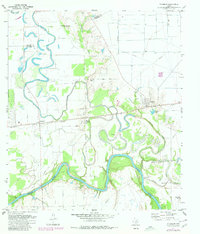
1971 Map of Fulshear
USGS Topo · Published 1980About this map
Brazos River meanders across this landscape, defining the rich alluvial terrain of northern Fort Bend County. The 1971 survey captures a rural landscape where small community hubs like Fulshear and Simonton are anchored by the Southern Pacific railroad line. The map reveals a dense network of local spiritual and civic life, evidenced by numerous named congregations including Jerusalem Starlight Ch, Zion Chapel, and St Pauls Ch.
Find a feature on this map
32 named features on this map. Tap any name to fly to it.
Don’t see what you’re looking for? This feature index may not catch every label — zoom into the map to look around manually.
Map Details
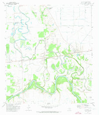
Editions of this 1971 Fulshear Map
2 editions found
Other maps of this area

1915 · Katy
USGS Topo · 1:24,000

1950 · Houston
USGS Topo · 1:250,000

1953 · Seguin
USGS Topo · 1:250,000

1955 · Brookshire
USGS Topo · 1:62,500

1955 · Richmond
USGS Topo · 1:62,500

1956 · Sealy
USGS Topo · 1:62,500

1956 · Wallis
USGS Topo · 1:62,500

1956 · Houston
USGS Topo · 1:250,000

1958 · Seguin
USGS Topo · 1:250,000

1960 · Wallis
USGS Topo · 1:24,000