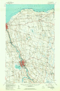
1956 Map of Fulton
USGS Topo · Published 1961About this map
The Oswego River corridor anchors this mid-century survey of Oswego County, tracing the industrial and transit spine of the region through Fulton and Minetto. The landscape is defined by the intersection of rail and water, featuring the Erie Lackawanna Railroad and New York Central Railroad running parallel to the river's course. Near the shoreline of Lake Ontario, the map documents several recreation and utility sites, including Dempster Grove Campground and the military reserve at Camp Oswego.
Find a feature on this map
129 named features on this map. Tap any name to fly to it.
Don’t see what you’re looking for? This feature index may not catch every label — zoom into the map to look around manually.
Map Details
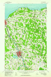
Editions of this 1956 Fulton Map
2 editions found
Other maps of this area

1895 · Pulaski
USGS Topo · 1:62,500

1895 · Syracuse
USGS Topo · 1:62,500

1898 · Syracuse
USGS Topo · 1:62,500

1900 · Baldwinsville
USGS Topo · 1:62,500

1900 · Oswego
USGS Topo · 1:62,500

1900 · Fulton
USGS Topo · 1:62,500

1902 · Weedsport
USGS Topo · 1:62,500

1905 · Mexico
USGS Topo · 1:62,500

1940 · Brewerton
USGS Topo · 1:24,000

1943 · Pulaski
USGS Topo · 1:31,680