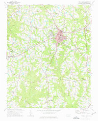
1974 Map of Fuquay-Varina
USGS Topo · Published 1977About this map
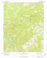
Fuquay-Varina serves as the central hub of this 1970s survey, where the Durham and Southern and Norfolk and Southern railroads converge. The landscape is characterized by a dense network of watercourses including Terrible Creek, Buckhorn Creek, and Kenneth Creek, which define the agricultural and timbered areas surrounding the main settlement. Distinct rural communities and rail stops such as Duncan, Rawls, and Holland are clearly identified, providing a look at the settlement patterns before the rapid suburban expansion of the late 20th century.
Find a feature on this map
40 named features on this map. Tap any name to fly to it.
Don’t see what you’re looking for? This feature index may not catch every label — zoom into the map to look around manually.
Map Details
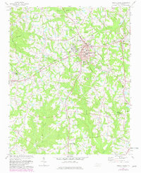
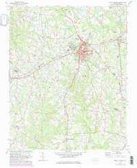
Editions of this 1974 Fuquay-Varina Map
3 editions found
Other maps of this area

1953 · Raleigh
USGS Topo · 1:250,000

1954 · Raleigh
USGS Topo · 1:250,000

1964 · Lake Wheeler
USGS Topo · 1:24,000

1964 · Angier
USGS Topo · 1:24,000

1964 · Garner
USGS Topo · 1:62,500

1973 · Coats
USGS Topo · 1:24,000

1974 · Apex
USGS Topo · 1:24,000
1974 · New Hill
USGS Topo · 1:24,000

1974 · Mamers
USGS Topo · 1:24,000
1974 · Cokesbury
USGS Topo · 1:24,000