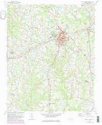
1974 Map of Fuquay-Varina
USGS Topo · Published 1982About this map
Fuquay-Varina serves as the primary hub of this North Carolina landscape, where the Norfolk Southern rail line intersects the town center near Municipal Building and the historic Fuquay Springs School. The map documents a period of suburban expansion and local institutional growth, evidenced by the development of Lincoln Heights and specialized facilities like the Fuquay-Angier Airfield.
Find a feature on this map
40 named features on this map. Tap any name to fly to it.
Don’t see what you’re looking for? This feature index may not catch every label — zoom into the map to look around manually.
Map Details
Editions of this 1974 Fuquay-Varina Map
3 editions found
Other maps of this area

1953 · Raleigh
USGS Topo · 1:250,000

1954 · Raleigh
USGS Topo · 1:250,000

1964 · Lake Wheeler
USGS Topo · 1:24,000

1964 · Angier
USGS Topo · 1:24,000

1964 · Garner
USGS Topo · 1:62,500

1973 · Coats
USGS Topo · 1:24,000

1974 · Apex
USGS Topo · 1:24,000
1974 · Fuquay-Varina
USGS Topo · 1:24,000
1974 · New Hill
USGS Topo · 1:24,000

1974 · Mamers
USGS Topo · 1:24,000