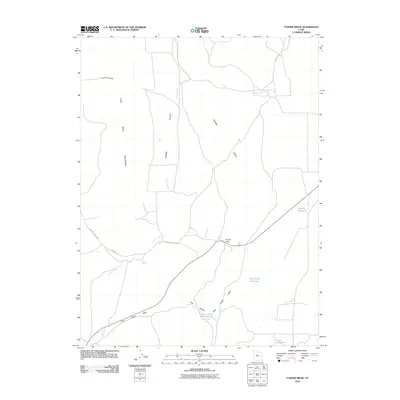
2010 Map of Furner Ridge
USGS Topo · Published 2010About this map
Furner Valley and the surrounding high desert terrain dominate this USGS survey of Juab County, Utah. The landscape is defined by the sharp rise of the East Tintic Mountains to the west and the prominent spine of Furner Ridge to the east. Transportation through this arid corridor centers on Furner Pass, where historical routes like the Jericho Callao Rd and Rte 1612 navigate the gaps between the heights. Water management is critical in this environment, evidenced by several scattered catchments including Brough Reservoir, Dog Valley Reservoir, and the descriptively named Hole in Rock Reservoir. Features like Tidwell Spring and Furner Creek indicate the rare natural water sources that historically supported ranching or transit in this rugged section of the Great Basin.
Find a feature on this map
15 named features on this map. Tap any name to fly to it.
Don’t see what you’re looking for? This feature index may not catch every label — zoom into the map to look around manually.
Map Details
Editions of this 2010 Furner Ridge Map
This is the sole edition of this map. No revisions or reprints were ever made.
Other maps of this area

1885 · Manti
USGS Topo · 1:250,000

1885 · Sevier Desert
USGS Topo · 1:250,000

1895 · Manti
USGS Topo · 1:250,000

1951 · Santaquin
USGS Topo · 1:62,500

1951 · Nephi
USGS Topo · 1:62,500

1953 · Delta
USGS Topo · 1:250,000

1954 · Mc Intyre
USGS Topo · 1:24,000

1954 · Tintic Mountain
USGS Topo · 1:24,000

1956 · Price
USGS Topo · 1:250,000

1958 · Delta
USGS Topo · 1:250,000