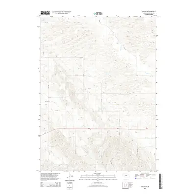
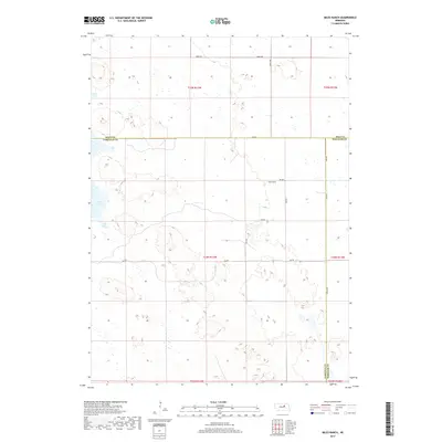
1954 Map of Gables SE
USGS Topo · Published 1985About this map
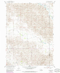
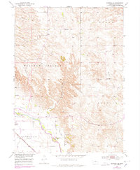
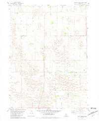
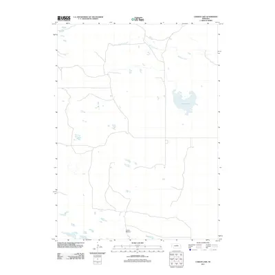
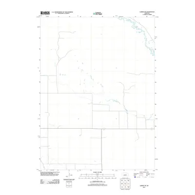
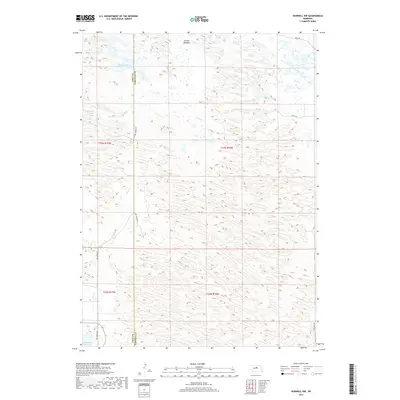
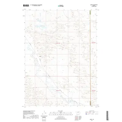
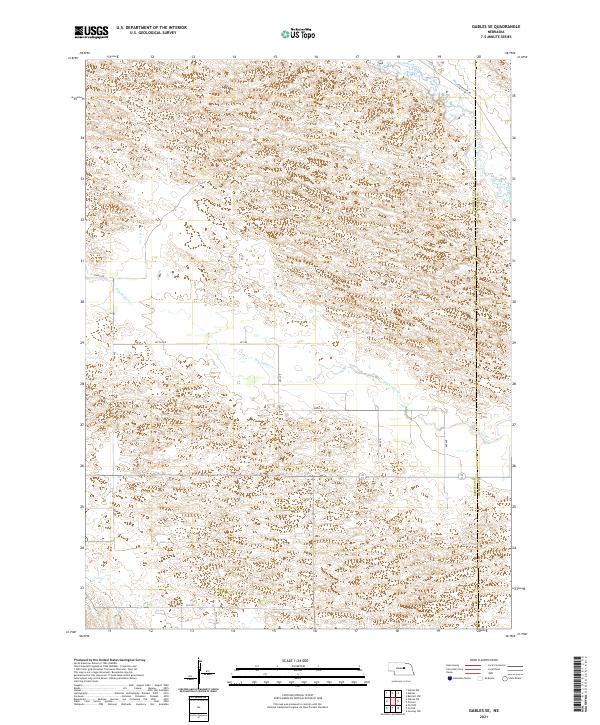
The Nebraska sandhills of Garfield and Wheeler counties are defined by a complex network of seasonal drainage and isolated landmarks in this mid-century survey. The landscape is dominated by the wandering path of Cedar Creek, which carves through the undulating terrain alongside the intermittently flowing Dry Cedar Creek. This environment represents the traditional ranching economy of the Great Plains, where the placement of a single Windmill serves as a critical navigation point and a vital resource for livestock. The map documents the region as it was being developed under the Department of the Interior program for the Missouri River Basin, capturing the sparse but essential human infrastructure required to manage these remote grasslands.
Find a feature on this map
4 named features on this map. Tap any name to fly to it.
Don’t see what you’re looking for? This feature index may not catch every label — zoom into the map to look around manually.
Map Details
Editions of this 1954 Gables SE Map
2 editions found
Historical Maps of Wheeler County Through Time
55 maps found
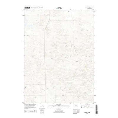
1952 Burwell NE
Garfield County, NE
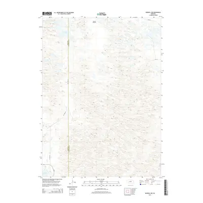
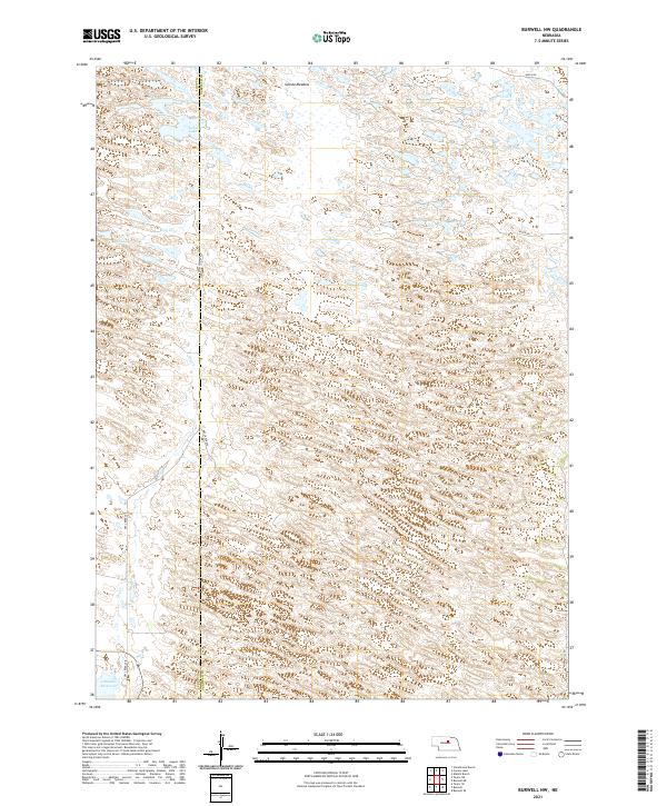
1952 Burwell NW
Garfield County, NE
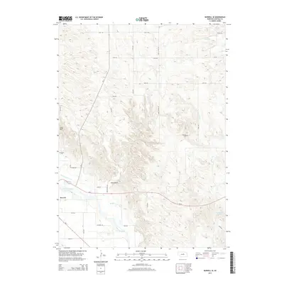
1952 Burwell SE
Garfield County, NE
1954 Gables
Garfield County, NE
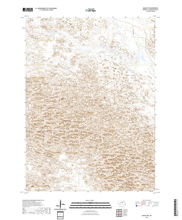
1954 Gables NW
Garfield County, NE
1954 Gables SE
Garfield County, NE
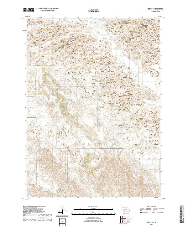
1954 Gables SW
Garfield County, NE
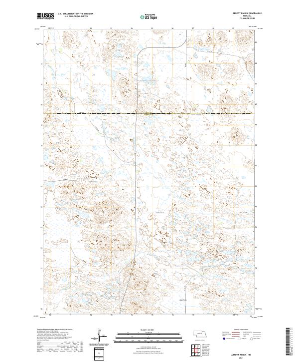
1981 Abbott Ranch
Garfield County, NE
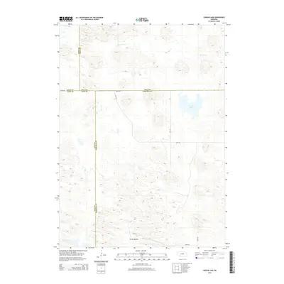
1981 Carson Lake
Garfield County, NE
1981 Chain Lake
Garfield County, NE
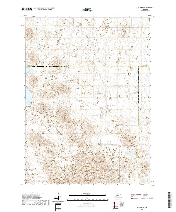
1981 Miles Ranch
Garfield County, NE
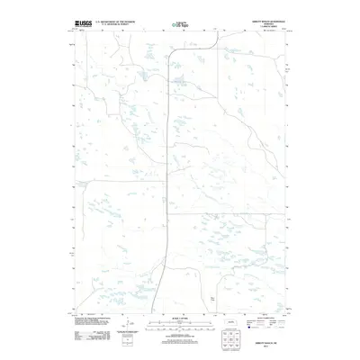
2011 Abbott Ranch
Garfield County, NE
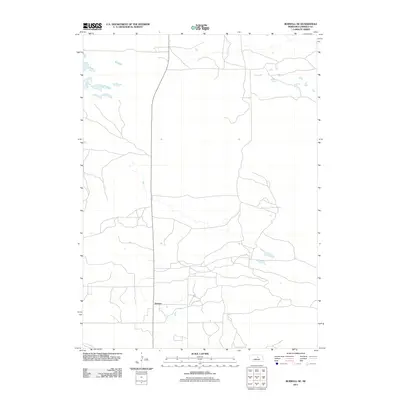
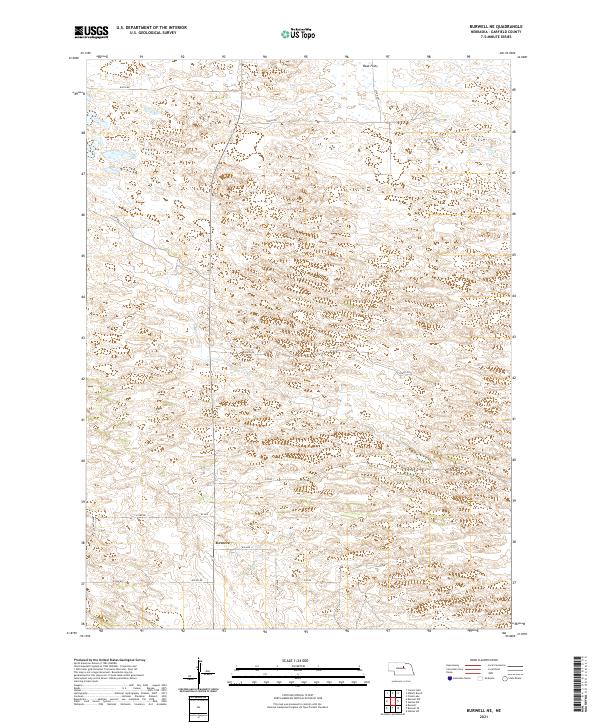
2011 Burwell NE
Garfield County, NE
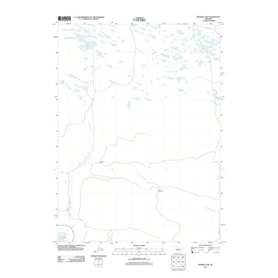
2011 Burwell NW
Garfield County, NE
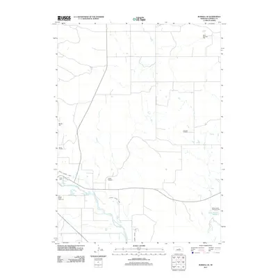
2011 Burwell SE
Garfield County, NE
2011 Carson Lake
Garfield County, NE
2011 Chain Lake
Garfield County, NE
2011 Gables
Garfield County, NE
2011 Gables NW
Garfield County, NE
2011 Gables SE
Garfield County, NE
2011 Gables SW
Garfield County, NE
2011 Miles Ranch
Garfield County, NE
2014 Abbott Ranch
Garfield County, NE
2014 Burwell NE
Garfield County, NE
2014 Burwell NW
Garfield County, NE
2014 Burwell SE
Garfield County, NE
2014 Carson Lake
Garfield County, NE
2014 Chain Lake
Garfield County, NE
2014 Gables
Garfield County, NE
2014 Gables NW
Garfield County, NE
2014 Gables SE
Garfield County, NE
2014 Gables SW
Garfield County, NE
2014 Miles Ranch
Garfield County, NE
2017 Abbott Ranch
Garfield County, NE
2017 Burwell NE
Garfield County, NE
2017 Burwell NW
Garfield County, NE
2017 Burwell SE
Garfield County, NE
2017 Carson Lake
Garfield County, NE
2017 Chain Lake
Garfield County, NE
2017 Gables
Garfield County, NE
2017 Gables NW
Garfield County, NE
2017 Gables SE
Garfield County, NE
2017 Gables SW
Garfield County, NE
2017 Miles Ranch
Garfield County, NE
2021 Abbott Ranch
Garfield County, NE
2021 Burwell NE
Garfield County, NE
2021 Burwell NW
Garfield County, NE
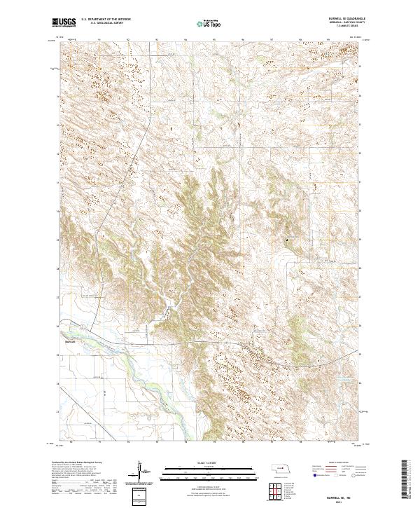
2021 Burwell SE
Garfield County, NE
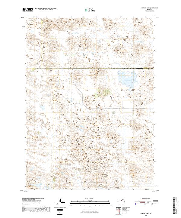
2021 Carson Lake
Garfield County, NE
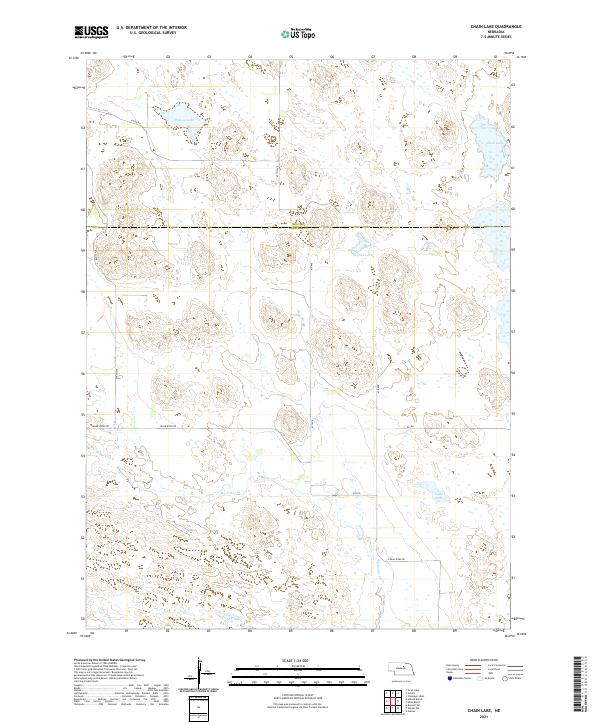
2021 Chain Lake
Garfield County, NE
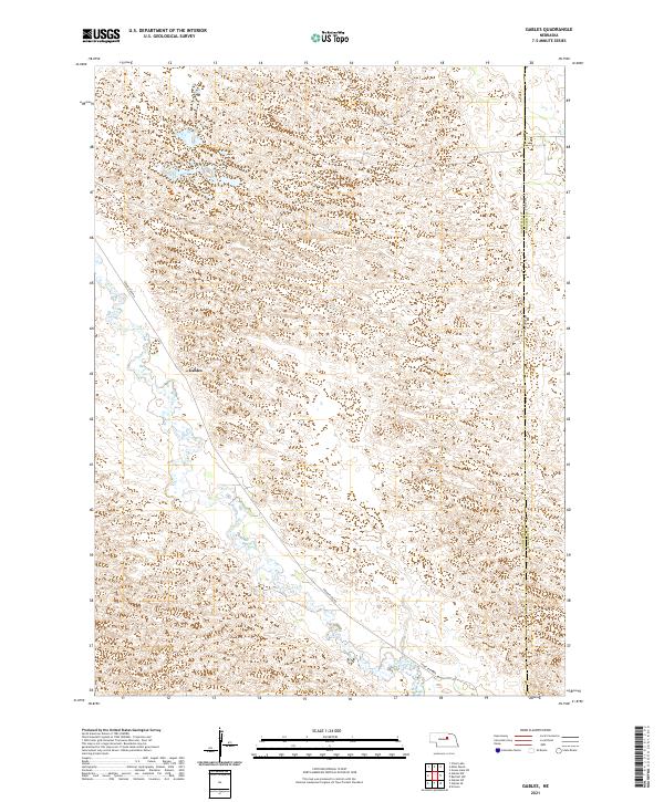
2021 Gables
Garfield County, NE
2021 Gables NW
Garfield County, NE
2021 Gables SE
Garfield County, NE
2021 Gables SW
Garfield County, NE
2021 Miles Ranch
Garfield County, NE