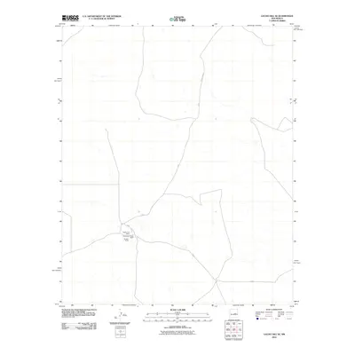
2010 Map of Gacho Hill SE
USGS Topo · Published 2010About this map
Roadrunner Ranch and the adjacent Roadrunner Ranch North mark a focal point of activity in this Lincoln County landscape, situated near the intersection of several local routes. This high-plains region is defined by its ranching heritage and isolated settlements, connected by a network of rural roads including County Rd 31, F 0 27, and F 0 34. The presence of Sanders Ranch nearby underscores the importance of private landholdings and family-run operations in the local economy during this era. The sparse distribution of named features reflects the expansive, open nature of the terrain, where transportation corridors serve as the primary lifelines between remote homesteads and larger regional centers.
Find a feature on this map
6 named features on this map. Tap any name to fly to it.
Don’t see what you’re looking for? This feature index may not catch every label — zoom into the map to look around manually.
Map Details
Editions of this 2010 Gacho Hill SE Map
This is the sole edition of this map. No revisions or reprints were ever made.
Other maps of this area

1954 · Fort Sumner
USGS Topo · 1:250,000

1958 · Fort Sumner
USGS Topo · 1:250,000

1967 · Ramon
USGS Topo · 1:24,000

1979 · Fort Sumner
USGS Topo · 1:100,000

1980 · Corona
USGS Topo · 1:100,000

1981 · Loco Draw
USGS Topo · 1:24,000

1981 · Cowboy Mesa NE
USGS Topo · 1:24,000

1981 · Gacho Hill NW
USGS Topo · 1:24,000

1981 · Gacho Hill SW
USGS Topo · 1:24,000

1981 · Gacho Hill SE
USGS Topo · 1:24,000