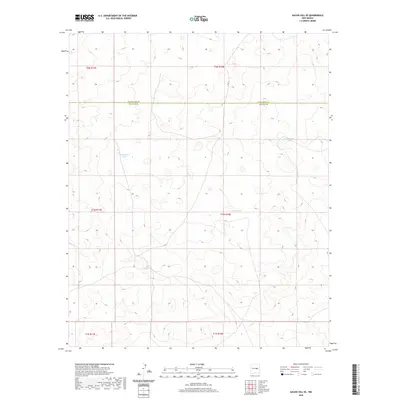
2020 Map of Gacho Hill SE
USGS Topo · Published 2020About this map
Manzanita Lake and several man-made water catchments define the drainage patterns across this high plains terrain on the Guadalupe and Lincoln County border. This region, characterized by its wide-open ranching land, is anchored by Gacho Hill and the seasonal water sources vital for livestock in the arid Southwest. While largely undeveloped, the map traces the local transit through Co Rd 3l, which cuts through the northern sections of the sheet. The landscape is segmented by the Public Land Survey System grid, shown here across multiple townships including t2n r18e and t1n r17e, illustrating how the territory was partitioned for grazing and resource management during the twentieth century.
Find a feature on this map
12 named features on this map. Tap any name to fly to it.
Don’t see what you’re looking for? This feature index may not catch every label — zoom into the map to look around manually.
Map Details
Editions of this 2020 Gacho Hill SE Map
This is the sole edition of this map. No revisions or reprints were ever made.
Other maps of this area

1954 · Fort Sumner
USGS Topo · 1:250,000

1958 · Fort Sumner
USGS Topo · 1:250,000

1967 · Ramon
USGS Topo · 1:24,000

1979 · Fort Sumner
USGS Topo · 1:100,000

1980 · Corona
USGS Topo · 1:100,000

1981 · Loco Draw
USGS Topo · 1:24,000

1981 · Cowboy Mesa NE
USGS Topo · 1:24,000

1981 · Gacho Hill NW
USGS Topo · 1:24,000

1981 · Gacho Hill SW
USGS Topo · 1:24,000

1981 · Gacho Hill SE
USGS Topo · 1:24,000