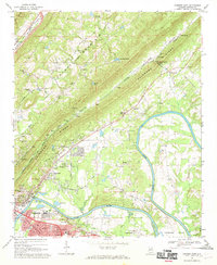
1967 Map of Gadsden East
USGS Topo · Published 1970About this map
The Coosa River anchors this landscape, winding past industrial hubs and rural ridges in the mid-1960s. Gadsden and East Gadsden dominate the southwestern corner, showing a complex infrastructure of rail lines including the Southern and L & N, alongside landmarks like the Meighan Bridge and a Filtration Plant. The map illustrates the era's transition from river-dependent industry to modern utility, evidenced by the Industrial Waste Pond and multiple Radio Towers.
Find a feature on this map
77 named features on this map. Tap any name to fly to it.
Don’t see what you’re looking for? This feature index may not catch every label — zoom into the map to look around manually.
Map Details
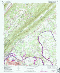
Editions of this 1967 Gadsden East Map
2 editions found
Other maps of this area

1885 · Gadsden
USGS Topo · 1:125,000

1888 · Gadsden
USGS Topo · 1:125,000

1889 · Springville
USGS Topo · 1:125,000

1892 · Springville
USGS Topo · 1:125,000

1892 · Gadsden
USGS Topo · 1:125,000

1893 · Fort Payne
USGS Topo · 1:125,000

1895 · Gadsden
USGS Topo · 1:125,000

1898 · Fort Payne
USGS Topo · 1:125,000

1900 · Fort Payne
USGS Topo · 1:125,000

1900 · Anniston
USGS Topo · 1:125,000