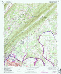
1967 Map of Gadsden East
USGS Topo · Published 1987About this map
Lookout Mountain and Shinbone Ridge dominate the landscape in this 1967 survey of Etowah County, where the industrial footprint of Gadsden meets the rural valleys of the Coosa River. The transition from the urban core of East Gadsden to the outlying settlements of Turkeytown and Hokes Bluff is clearly marked by the expansion of the Neely Henry Lake reservoir system.
Find a feature on this map
71 named features on this map. Tap any name to fly to it.
Don’t see what you’re looking for? This feature index may not catch every label — zoom into the map to look around manually.
Map Details
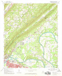
Editions of this 1967 Gadsden East Map
2 editions found
Other maps of this area

1885 · Gadsden
USGS Topo · 1:125,000

1888 · Gadsden
USGS Topo · 1:125,000

1889 · Springville
USGS Topo · 1:125,000

1892 · Springville
USGS Topo · 1:125,000

1892 · Gadsden
USGS Topo · 1:125,000

1893 · Fort Payne
USGS Topo · 1:125,000

1895 · Gadsden
USGS Topo · 1:125,000

1898 · Fort Payne
USGS Topo · 1:125,000

1900 · Fort Payne
USGS Topo · 1:125,000

1900 · Anniston
USGS Topo · 1:125,000