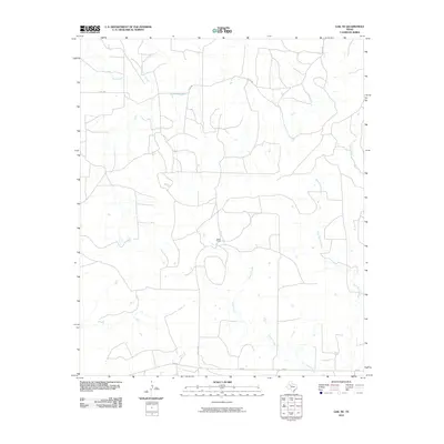
2010 Map of Gail NE
USGS Topo · Published 2010About this map
The Double Mountain Fork Brazos River winds through the northern portion of this West Texas landscape, defining a terrain shaped by an intricate network of drainage systems. This 2010 survey of Garza County reveals a territory primarily organized by large-scale ranching and rural infrastructure, centered around the Miller Ranch. The land is segmented by numerous watercourses, including Gavett Creek, Sand Creek, and Griffin Creek, which dictate the placement of local transport routes. The transition from established state-maintained roads like FM 2350 and FM 612 to more localized paths such as R Miller Rd illustrates the rural connectivity essential to the region's agricultural operations. This document provides a clear view of the topographic character and water resources of the Llano Estacado's eastern breaks.
Find a feature on this map
10 named features on this map. Tap any name to fly to it.
Don’t see what you’re looking for? This feature index may not catch every label — zoom into the map to look around manually.
Map Details
Editions of this 2010 Gail NE Map
This is the sole edition of this map. No revisions or reprints were ever made.
Other maps of this area

1954 · Lubbock
USGS Topo · 1:250,000

1954 · Big Spring
USGS Topo · 1:250,000

1958 · Big Spring
USGS Topo · 1:250,000

1969 · Gail NE
USGS Topo · 1:24,000

1969 · Arah
USGS Topo · 1:24,000

1969 · Beal Hollow
USGS Topo · 1:24,000

1969 · Fluvanna
USGS Topo · 1:24,000

1969 · Gail
USGS Topo · 1:24,000

1969 · Justiceburg
USGS Topo · 1:24,000

1969 · Cooper Creek
USGS Topo · 1:24,000