
1902 Map of Gainesville
USGS Topo · Published 1902About this map
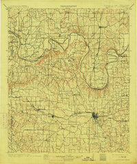
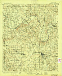
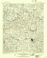
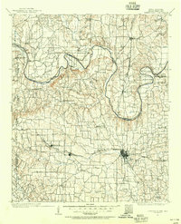
The Red River defines the border between Texas and the Chickasaw Nation in this turn-of-the-century landscape. The river’s winding course creates dramatic loops such as Warrens Bend and Sivells Bend, terrain characterized by deep hollows and ridges like Nubbin Ridge. Transport across the water relied on a series of historic crossings including Burneyville Ferry and Browns Ferry, while the southern half of the sheet shows the expanding rail influence centered on Gainesville. The presence of the Missouri Kansas and Texas R. R. and the Gulf Colorado and Santa Fe R. R. anchored regional commerce in towns like Muenster and Myra. Local life away from the rails is documented through the location of High Hill Schoolhouse, Lynn School House, and the Loring Ranch, providing a window into the rural Cooke County and Indian Territory frontier before statehood.
Find a feature on this map
103 named features on this map. Tap any name to fly to it.
Don’t see what you’re looking for? This feature index may not catch every label — zoom into the map to look around manually.
Map Details
Editions of this 1902 Gainesville Map
5 editions found
Other maps of this area

1901 · Addington
USGS Topo · 1:125,000

1901 · Tishomingo
USGS Topo · 1:125,000

1901 · Ardmore
USGS Topo · 1:125,000

1901 · Denison
USGS Topo · 1:125,000

1905 · Montague
USGS Topo · 1:125,000

1918 · Ardmore
USGS Topo · 1:125,000

1943 · Gainesville
USGS Topo · 1:125,000

1954 · Sherman
USGS Topo · 1:250,000

1957 · Ardmore
USGS Topo · 1:250,000

1958 · Gordonville
USGS Topo · 1:62,500