
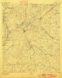
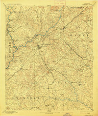
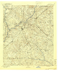
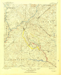
1891 Map of Gainesville
USGS Topo · Published 1891About this map
Gainesville serves as the primary hub of this North Georgia survey, situated where the Richmond and Danville Railroad intersects the Gainesville Jefferson and Southern Railroad. This late 19th-century landscape is defined by the complex drainage of the Chattahoochee River and Middle Oconee River, a region then heavily reliant on river crossings and localized milling. Notable for genealogists are the numerous family-named river features, including Stringers Fd, Wooléys Ford, and William's Ferry, which illustrate the transportation network before modern bridging.
Find a feature on this map
96 named features on this map. Tap any name to fly to it.
Don’t see what you’re looking for? This feature index may not catch every label — zoom into the map to look around manually.
Map Details
Editions of this 1891 Gainesville Map
5 editions found
Other maps of this area

1886 · Dahlonega
USGS Topo · 1:125,000

1886 · Walhalla
USGS Topo · 1:125,000

1888 · Ellijay
USGS Topo · 1:125,000

1888 · Atlanta
USGS Topo · 1:125,000

1890 · Suwanee
USGS Topo · 1:125,000

1890 · Atlanta
USGS Topo · 1:125,000

1891 · Carnesville
USGS Topo · 1:125,000

1892 · Dahlonega
USGS Topo · 1:125,000

1892 · Walhalla
USGS Topo · 1:125,000

1892 · Ellijay
USGS Topo · 1:125,000