
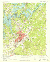
1964 Map of Gainesville
USGS Topo · Published 1965About this map
Lake Sidney Lanier dominates the northwestern landscape, its irregular shoreline forming numerous coves where the Chattahoochee River meets tributaries like Wahoo Creek and Little River. In the mid-1960s, Gainesville serves as a thriving hub, centered around a dense commercial core including the Municipal Bldg, Brenau College, and the Post Office. The map captures the industrial and residential development of satellite communities such as Chicopee and New Holland, the latter featuring the New Holland Cem.
Find a feature on this map
104 named features on this map. Tap any name to fly to it.
Don’t see what you’re looking for? This feature index may not catch every label — zoom into the map to look around manually.
Map Details
Editions of this 1964 Gainesville Map
4 editions found
Other maps of this area

1891 · Gainesville
USGS Topo · 1:125,000

1954 · Greenville
USGS Topo · 1:250,000

1958 · Greenville
USGS Topo · 1:250,000

1964 · Murrayville
USGS Topo · 1:24,000

1964 · Chestnut Mountain
USGS Topo · 1:24,000

1964 · Lula
USGS Topo · 1:24,000
1964 · Chestatee
USGS Topo · 1:24,000

1964 · Pendergrass
USGS Topo · 1:24,000
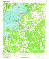
1964 · Flowery Branch
USGS Topo · 1:24,000
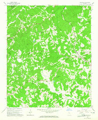
1964 · Gillsville
USGS Topo · 1:24,000