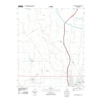
2010 Map of Gainesville North
USGS Topo · Published 2010About this map
Gainesville serves as the primary hub of this North Texas region, anchored by the Santa Fe Passenger Depot and the nearby Gainesville Municipal Airport. The landscape is defined by the proximity of the Red River to the north and the expansive Lake Texoma in the northeastern corner. The elevation of Wolf Ridge overlooks a network of water bodies, including Hubert M Moss Lake and the Elm Fork Trinity River, which flows through the southern portion of the quadrangle. Local heritage is preserved at sites like the Red River Cemetery and Rest Haven Memorial Cemetery. The map also captures the town of Lindsay and several infrastructure projects like the Soil Conservation Service Site 9 Dam, reflecting the region's managed water resources and its importance as a transit corridor connecting Texas and Oklahoma.
Find a feature on this map
43 named features on this map. Tap any name to fly to it.
Don’t see what you’re looking for? This feature index may not catch every label — zoom into the map to look around manually.
Map Details
Editions of this 2010 Gainesville North Map
This is the sole edition of this map. No revisions or reprints were ever made.
Other maps of this area

1902 · Gainesville
USGS Topo · 1:125,000

1943 · Gainesville
USGS Topo · 1:125,000

1954 · Sherman
USGS Topo · 1:250,000

1958 · Sherman
USGS Topo · 1:250,000

1960 · Callisburg
USGS Topo · 1:24,000

1960 · Gainesville South
USGS Topo · 1:24,000

1960 · Gainesville North
USGS Topo · 1:24,000

1960 · Woodbine
USGS Topo · 1:24,000

1961 · Hood
USGS Topo · 1:24,000

1961 · Muenster East
USGS Topo · 1:24,000