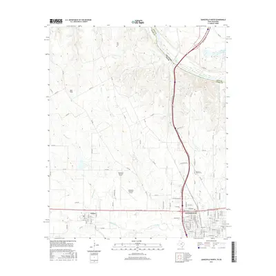
2016 Map of Gainesville North
USGS Topo · Published 2016About this map
Gainesville and the neighboring community of Lindsay anchor this 2016 survey along the Interstate 35 corridor, just south of the Oklahoma border. The landscape is defined by the winding course of the Red River, which forms the boundary between Love County and Cooke County. This northern section of the Texas Cross Timbers region displays a transition from the urban grid of the county seat to the elevated terrain of Wolf Ridge and the water-carved valleys of Montague Cr and Dozier Cr. Modern infrastructure, including the Gainesville Municipal Airport and a network of Farm-to-Market roads, intersects with longstanding local landmarks such as Fairview Cem and Rest Haven Memorial Cem. To the south, the Elm Fork Trinity River cuts across the terrain, illustrating the complex hydrology of a region where the Red and Trinity river basins nearly meet.
Find a feature on this map
91 named features on this map. Tap any name to fly to it.
Don’t see what you’re looking for? This feature index may not catch every label — zoom into the map to look around manually.
Map Details
Editions of this 2016 Gainesville North Map
This is the sole edition of this map. No revisions or reprints were ever made.
Other maps of this area

1902 · Gainesville
USGS Topo · 1:125,000

1943 · Gainesville
USGS Topo · 1:125,000

1954 · Sherman
USGS Topo · 1:250,000

1958 · Sherman
USGS Topo · 1:250,000

1960 · Callisburg
USGS Topo · 1:24,000

1960 · Gainesville South
USGS Topo · 1:24,000

1960 · Gainesville North
USGS Topo · 1:24,000

1960 · Woodbine
USGS Topo · 1:24,000

1961 · Hood
USGS Topo · 1:24,000

1961 · Muenster East
USGS Topo · 1:24,000