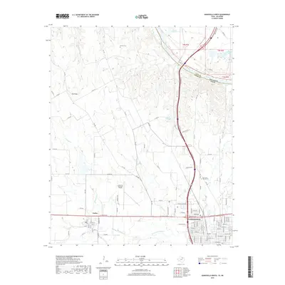
2019 Map of Gainesville North
USGS Topo · Published 2019About this map
The Red River defines the northern boundary of this Texas-Oklahoma borderlands area, carving a wide valley across the landscape as it separates Love County and Cooke County. The northern reaches of Gainesville serve as a focal point for the region's transportation and industry, with corridors like J M Lindsay Blvd and the Gainesville Municipal Airport anchoring the local infrastructure. To the west, the settlement of Lindsay sits near the headwaters of Montague Cr, while the small community of Sycamore is positioned south of town.
Find a feature on this map
71 named features on this map. Tap any name to fly to it.
Don’t see what you’re looking for? This feature index may not catch every label — zoom into the map to look around manually.
Map Details
Editions of this 2019 Gainesville North Map
This is the sole edition of this map. No revisions or reprints were ever made.
Other maps of this area

1902 · Gainesville
USGS Topo · 1:125,000

1943 · Gainesville
USGS Topo · 1:125,000

1954 · Sherman
USGS Topo · 1:250,000

1958 · Sherman
USGS Topo · 1:250,000

1960 · Callisburg
USGS Topo · 1:24,000

1960 · Gainesville South
USGS Topo · 1:24,000

1960 · Gainesville North
USGS Topo · 1:24,000

1960 · Woodbine
USGS Topo · 1:24,000

1961 · Hood
USGS Topo · 1:24,000

1961 · Muenster East
USGS Topo · 1:24,000