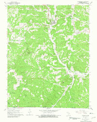
1968 Map of Gainesville
USGS Topo · Published 1981About this map
Gainesville serves as the focal point of this Ozark County landscape, situated where Harrison Creek and Becky Creek converge. The late 1960s terrain is defined by a dense network of hollows—such as Persimmon Hollow, Orchard Hollow, and Coon Den Hollow—that dictate the placement of local homesteads and roads. Along the eastern edge, the small settlements of Lilly and Mammoth are established near Lick Creek, while the southern border tracks the winding Missouri-Arkansas state line.
Find a feature on this map
53 named features on this map. Tap any name to fly to it.
Don’t see what you’re looking for? This feature index may not catch every label — zoom into the map to look around manually.
Map Details
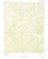
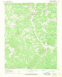
Editions of this 1968 Gainesville Map
3 editions found
Other maps of this area

1890 · Mountain Home
USGS Topo · 1:125,000

1891 · Mountain Home
USGS Topo · 1:125,000

1893 · Yellville
USGS Topo · 1:125,000

1894 · Mountain Home
USGS Topo · 1:125,000

1903 · Yellville
USGS Topo · 1:125,000

1905 · Yellville
USGS Topo · 1:125,000

1929 · Yellville
USGS Topo · 1:125,000

1934 · Gainesville
USGS Topo · 1:48,000

1936 · Thornfield
USGS Topo · 1:48,000

1940 · Gainesville
USGS Topo · 1:62,500