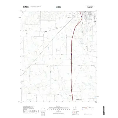
2019 Map of Gainesville South
USGS Topo · Published 2019About this map
The Gainesville southern corridor in Cooke County is defined by the headwaters and tributaries of the Elm Fork Trinity River, where the North Texas prairie meets growing agricultural and residential footprints. This modern survey captures the distinct settlement patterns along the Interstate 35 corridor, anchoring the southern reach of the county seat while documenting the smaller communities of Lindsay and Valley View. The landscape is etched by a network of waterways including Hickory Cr, Scott Cr, and Hackley Cr, which drain toward the south.
Find a feature on this map
97 named features on this map. Tap any name to fly to it.
Don’t see what you’re looking for? This feature index may not catch every label — zoom into the map to look around manually.
Map Details
Editions of this 2019 Gainesville South Map
This is the sole edition of this map. No revisions or reprints were ever made.
Other maps of this area

1902 · Gainesville
USGS Topo · 1:125,000

1943 · Gainesville
USGS Topo · 1:125,000

1954 · Sherman
USGS Topo · 1:250,000

1958 · Sherman
USGS Topo · 1:250,000

1960 · Callisburg
USGS Topo · 1:24,000

1960 · Gainesville South
USGS Topo · 1:24,000

1960 · Gainesville North
USGS Topo · 1:24,000

1960 · Woodbine
USGS Topo · 1:24,000

1961 · Era
USGS Topo · 1:24,000

1961 · Hood
USGS Topo · 1:24,000