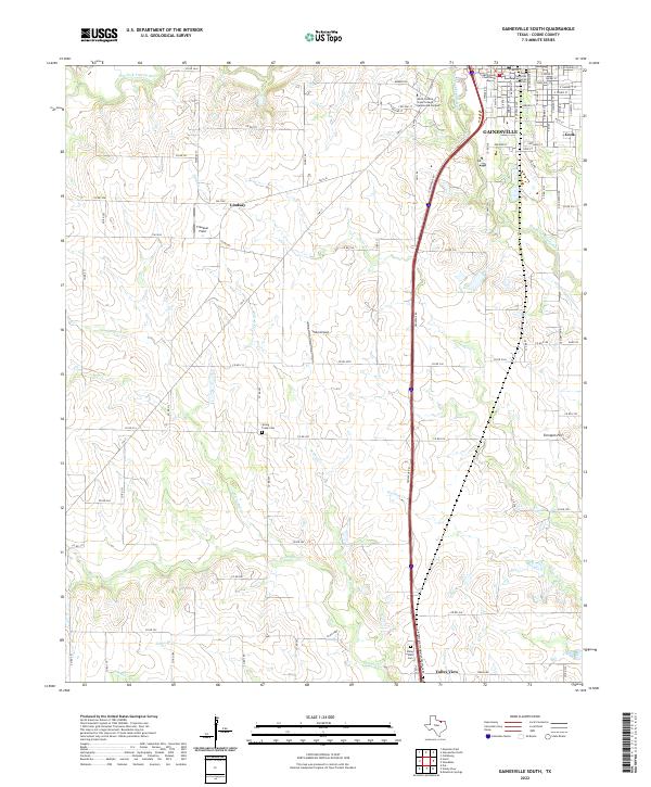
2022 Map of Gainesville South
USGS Topo · Published 2022About this map
Gainesville serves as the focal point of this North Texas landscape, where the historic Cooke County Courthouse stands near the site of one of the most somber chapters in Texas history. The Great Hanging Burial Site Cem commemorates the tragic Civil War-era mass hanging that took place in the county seat. Moving south from the city, the terrain transitions into a patchwork of rural roads and watercourses including Elm Fork Trinity River and Scott Cr.
Find a feature on this map
98 named features on this map. Tap any name to fly to it.
Don’t see what you’re looking for? This feature index may not catch every label — zoom into the map to look around manually.
Map Details
Editions of this 2022 Gainesville South Map
This is the sole edition of this map. No revisions or reprints were ever made.
Other maps of this area

1902 · Gainesville
USGS Topo · 1:125,000

1943 · Gainesville
USGS Topo · 1:125,000

1954 · Sherman
USGS Topo · 1:250,000

1958 · Sherman
USGS Topo · 1:250,000

1960 · Callisburg
USGS Topo · 1:24,000

1960 · Gainesville South
USGS Topo · 1:24,000

1960 · Gainesville North
USGS Topo · 1:24,000

1960 · Woodbine
USGS Topo · 1:24,000

1961 · Era
USGS Topo · 1:24,000

1961 · Hood
USGS Topo · 1:24,000