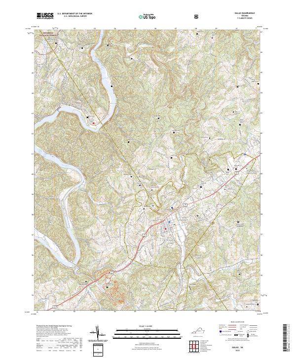
2022 Map of Galax
USGS Topo · Published 2022About this map
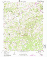
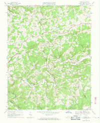
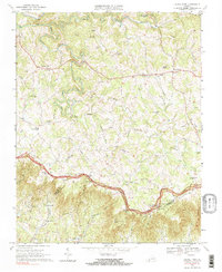
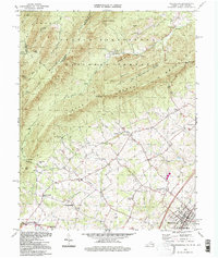
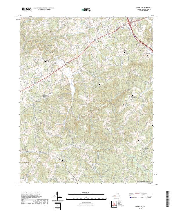
The settlement of Fries sits along a prominent bend of the New River, where the landscape transitions into the wooded slopes of the Jefferson National Forest. This 2022 survey documents the modern road network and geographic features of this portion of Carroll County, tracing the way older routes once followed the contours of the river valley. Numerous family-named cemeteries and rural churches dot the surrounding hillsides, reflecting generations of local history and community structure within the Appalachian terrain. The map provides a current look at the area's rural character, emphasizing the persistent relationship between the winding river and the small communities that developed along its banks.
Find a feature on this map
1 named feature on this map. Tap any name to fly to it.
Don’t see what you’re looking for? This feature index may not catch every label — zoom into the map to look around manually.
Map Details
Editions of this 2022 Galax Map
This is the sole edition of this map. No revisions or reprints were ever made.
Historical Maps of Oldtown Through Time
16 maps found

1931 Galax
Carroll County, VA

1933 Galax
Carroll County, VA

1956 Macks Mountain
Carroll County, VA
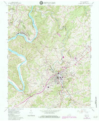
1965 Galax
Carroll County, VA
1965 Lambsburg
Carroll County, VA
1965 Sylvatus
Carroll County, VA
1965 Woodlawn
Carroll County, VA
1968 Dugspur
Carroll County, VA
1968 Laurel Fork
Carroll County, VA
1994 Woodlawn
Carroll County, VA
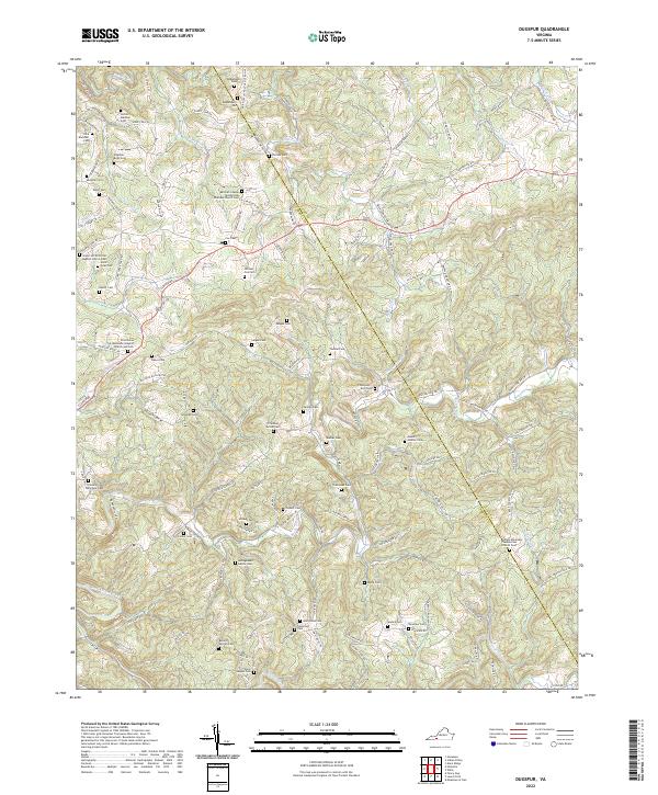
2022 Dugspur
Carroll County, VA
2022 Galax
Carroll County, VA
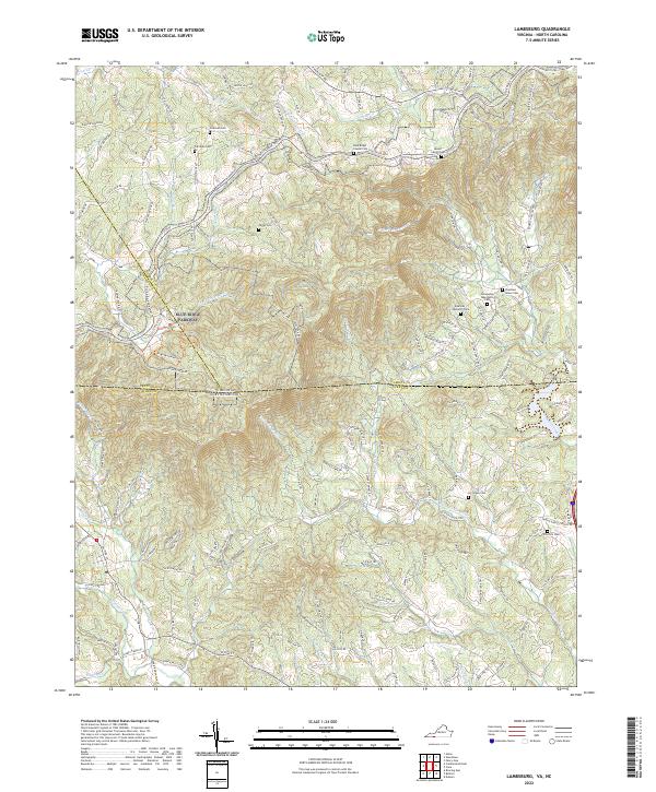
2022 Lambsburg
Carroll County, VA
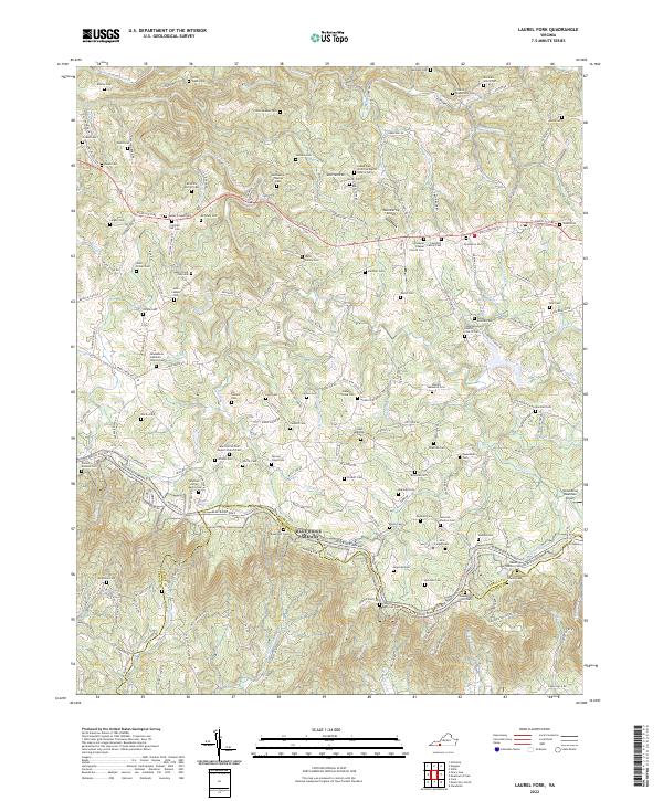
2022 Laurel Fork
Carroll County, VA
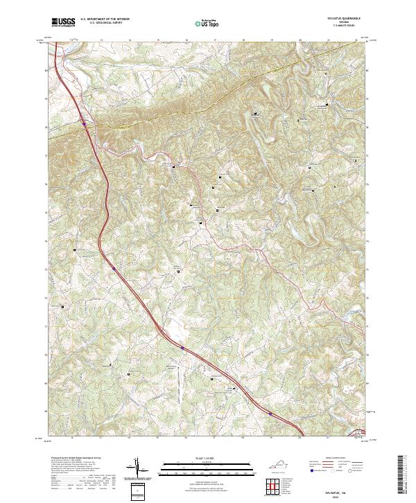
2022 Sylvatus
Carroll County, VA
2022 Woodlawn
Carroll County, VA