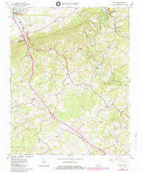
1965 Map of Sylvatus
USGS Topo · Published 1984About this map
Shot Tower State Historical Park anchors the northwest corner of this terrain, where the New River cuts through the mountains. This 1960s survey, later updated in the 1980s, captures the rural character of the Wythe and Carroll county line. The landscape is defined by the steep ridges of Poplar Camp Mountain and Periwinkle Mtn, while human settlement follows the narrow valleys of Little Reed Island Creek and Shorts Creek.
Find a feature on this map
44 named features on this map. Tap any name to fly to it.
Don’t see what you’re looking for? This feature index may not catch every label — zoom into the map to look around manually.
Map Details
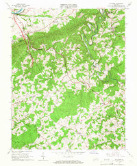
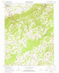
Editions of this 1965 Sylvatus Map
3 editions found
Other maps of this area

1889 · Hillsville
USGS Topo · 1:125,000

1892 · Hillsville
USGS Topo · 1:125,000

1896 · Hillsville
USGS Topo · 1:125,000

1930 · Max Meadows
USGS Topo · 1:62,500

1931 · Galax
USGS Topo · 1:48,000

1933 · Galax
USGS Topo · 1:62,500

1953 · Winston-Salem
USGS Topo · 1:250,000

1955 · Winston-Salem
USGS Topo · 1:250,000

1956 · Macks Mountain
USGS Topo · 1:62,500

1957 · Mount Airy
USGS Topo · 1:62,500