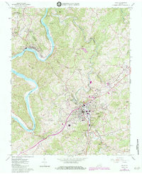
1965 Map of Galax
USGS Topo · Published 1984About this map
The New River defines the western reaches of this mid-1960s landscape, cutting through the Blue Ridge foothills near Fries. This industrial settlement, complete with a Filtration Plant and Substation, sits along the river bends where the Norfolk and Western rail line served the local economy. Further east, the city of Galax emerges as a significant regional hub, displaying a dense grid of streets, the Armory, and Felts Park.
Find a feature on this map
82 named features on this map. Tap any name to fly to it.
Don’t see what you’re looking for? This feature index may not catch every label — zoom into the map to look around manually.
Map Details
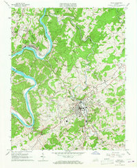
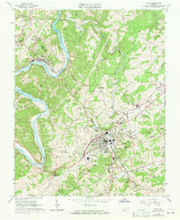
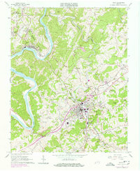
Editions of this 1965 Galax Map
4 editions found
Other maps of this area

1889 · Hillsville
USGS Topo · 1:125,000

1889 · Wytheville
USGS Topo · 1:125,000

1892 · Hillsville
USGS Topo · 1:125,000

1892 · Wytheville
USGS Topo · 1:125,000

1896 · Hillsville
USGS Topo · 1:125,000

1930 · Speedwell
USGS Topo · 1:62,500

1930 · Independence
USGS Topo · 1:48,000

1930 · Max Meadows
USGS Topo · 1:62,500

1931 · Galax
USGS Topo · 1:48,000

1933 · Independence
USGS Topo · 1:62,500