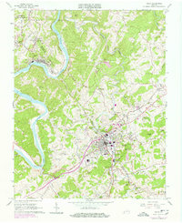
1965 Map of Galax
USGS Topo · Published 1978About this map
Galax sits at the heart of this mid-1960s survey, showing the city's industrial and residential footprint as it transitions into the late 20th century. The New River carves a sweeping path through the western portion of the map, supporting the town of Fries and its corporate boundary. The influence of the Norfolk and Western railway is evident, particularly at Chestnut Yard and where it follows Chestnut Creek toward the city center.
Find a feature on this map
87 named features on this map. Tap any name to fly to it.
Don’t see what you’re looking for? This feature index may not catch every label — zoom into the map to look around manually.
Map Details
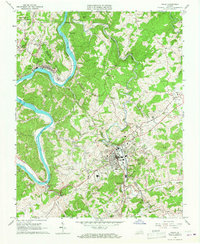
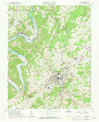
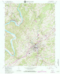
Editions of this 1965 Galax Map
4 editions found
Other maps of this area

1889 · Hillsville
USGS Topo · 1:125,000

1889 · Wytheville
USGS Topo · 1:125,000

1892 · Hillsville
USGS Topo · 1:125,000

1892 · Wytheville
USGS Topo · 1:125,000

1896 · Hillsville
USGS Topo · 1:125,000

1930 · Speedwell
USGS Topo · 1:62,500

1930 · Independence
USGS Topo · 1:48,000

1930 · Max Meadows
USGS Topo · 1:62,500

1931 · Galax
USGS Topo · 1:48,000

1933 · Independence
USGS Topo · 1:62,500