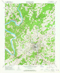
1965 Map of Galax
USGS Topo · Published 1967About this map
The New River carves a winding path through the borderlands of Carroll Co and Grayson Co in this mid-1960s survey. Industrial activity is centered around Fries, where the Norfolk and Western railway meets the riverbank, serving the local population alongside landmarks like the Fries High Sch and Fries Tabernacle. To the southeast, the city of Galax serves as a regional hub, its grid-patterned streets extending toward West Galax and the recreational grounds of the Golf Course.
Find a feature on this map
76 named features on this map. Tap any name to fly to it.
Don’t see what you’re looking for? This feature index may not catch every label — zoom into the map to look around manually.
Map Details
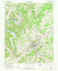
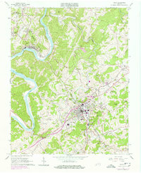
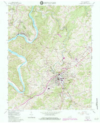
Editions of this 1965 Galax Map
4 editions found
Other maps of this area

1889 · Hillsville
USGS Topo · 1:125,000

1889 · Wytheville
USGS Topo · 1:125,000

1892 · Hillsville
USGS Topo · 1:125,000

1892 · Wytheville
USGS Topo · 1:125,000

1896 · Hillsville
USGS Topo · 1:125,000

1930 · Speedwell
USGS Topo · 1:62,500

1930 · Independence
USGS Topo · 1:48,000

1930 · Max Meadows
USGS Topo · 1:62,500

1931 · Galax
USGS Topo · 1:48,000

1933 · Independence
USGS Topo · 1:62,500