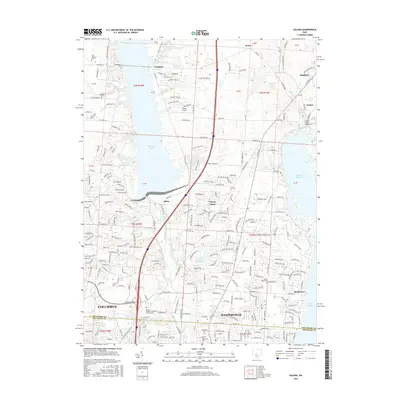
2016 Map of Galena
USGS Topo · Published 2016About this map
The suburban and academic landscape of Delaware and Franklin Counties is defined by the expansion of Columbus and Westerville toward the northeast. In this mid-2010s survey, the presence of Otterbein Coll and the Univ of Phoenix-Columbus Ohio Campus highlights the region's educational infrastructure, while the large water bodies of Alum Creek Lake and Hoover Reservoir dominate the local topography. These reservoirs, along with the smaller Westerville Reservoir and Williams Lake, provide significant recreational and resource management anchors for the growing residential communities.
Find a feature on this map
229 named features on this map. Tap any name to fly to it.
Don’t see what you’re looking for? This feature index may not catch every label — zoom into the map to look around manually.
Map Details
Editions of this 2016 Galena Map
This is the sole edition of this map. No revisions or reprints were ever made.
Other maps of this area

1901 · Dublin
USGS Topo · 1:62,500

1902 · Westerville
USGS Topo · 1:62,500

1903 · Dublin
USGS Topo · 1:62,500

1904 · Westerville
USGS Topo · 1:62,500

1915 · Marengo
USGS Topo · 1:62,500

1924 · Delaware
USGS Topo · 1:62,500

1925 · Delaware
USGS Topo · 1:62,500

1943 · Marengo
USGS Topo · 1:62,500

1944 · Delaware
USGS Topo · 1:62,500

1950 · Marion
USGS Topo · 1:250,000