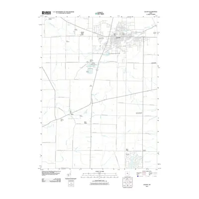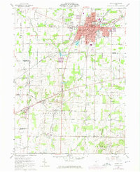
1960 Map of Galion
USGS Topo · Published 1974About this map
The Olentangy River and Whetstone Creek carve through the landscape surrounding Galion, a city defined by its dense rail infrastructure at the intersection of the Penn Central and Erie-Lackawanna lines. To the south, the village of Iberia sits near a locally significant Landing Strip, reflecting mid-century rural aviation. The map documents a clear boundary where the Lands North Of Old Seven Ranges Boundary meets southern townships like Washington and Canaan. This 1960s survey, updated in the early 1970s, captures the distribution of several family and community landmarks, including Zoar Cem, Tuttle Cem, and Emanuel Ch. The presence of numerous Gravel Pits and a city Reservoir indicates the local industrial and utility needs during this era of regional growth across the Crawford, Marion, and Morrow county lines.
Find a feature on this map
77 named features on this map. Tap any name to fly to it.
Don’t see what you’re looking for? This feature index may not catch every label — zoom into the map to look around manually.
Map Details
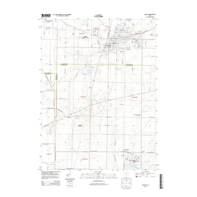
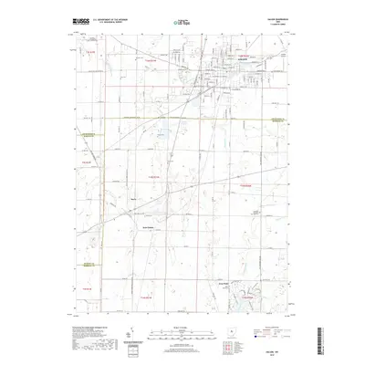
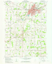
Editions of this 1960 Galion Map
3 editions found
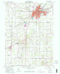
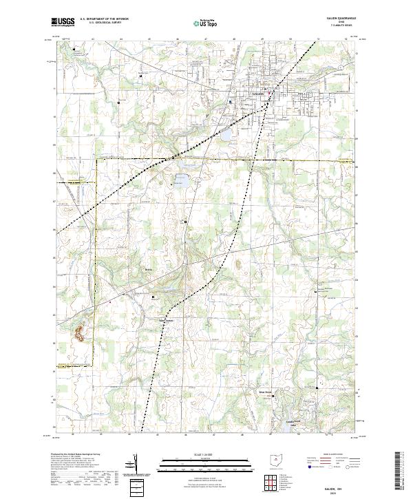
Historical Maps of Galion Through Time
6 maps found