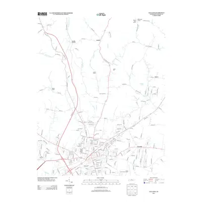
2013 Map of Gallatin
USGS Topo · Published 2013About this map
South Tunnel and the surrounding Sumner County countryside are documented in this 2013 survey, which illustrates the modern suburban and rural residential patterns of north-central Tennessee. The landscape is defined by its drainages, including the westward-flowing Station Camp Cr and the intricate network of hollows such as Brazier Hollow and Linsey Hollow. These topographic features have long dictated the placement of historic routes like the Old Highway 109.
Find a feature on this map
212 named features on this map. Tap any name to fly to it.
Don’t see what you’re looking for? This feature index may not catch every label — zoom into the map to look around manually.
Map Details
Editions of this 2013 Gallatin Map
This is the sole edition of this map. No revisions or reprints were ever made.
Other maps of this area

1903 · Nashville
USGS Topo · 1:125,000

1931 · Adolphus
USGS Topo · 1:62,500

1942 · Gallatin
USGS Topo · 1:100,000

1952 · Hendersonville
USGS Topo · 1:24,000

1953 · Cottontown
USGS Topo · 1:24,000

1955 · Bethpage
USGS Topo · 1:24,000

1955 · Laguardo
USGS Topo · 1:24,000

1955 · Hunters Point
USGS Topo · 1:24,000

1955 · Gallatin
USGS Topo · 1:24,000
1956 · Portland
USGS Topo · 1:24,000