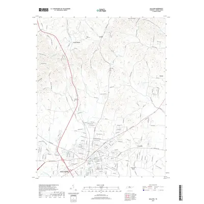
2019 Map of Gallatin
USGS Topo · Published 2019About this map
Gallatin serves as the focal point of this Sumner County study, where a dense street grid meets the Csx Transportation rail line. The landscape transitions from the urban center into a series of northern hollows, including Butler Mill Hollow and Crab Hollow, which characterize the undulating terrain toward the Kentucky border. Notable civic and historical sites are scattered throughout the region, from the Sumner County Regional Airport in the southeast to outlying settlements such as South Tunnel and Graball. Genealogists will find several significant burial grounds documented, including the Gallatin City Cem and the hilltop Union Hill Cem. The drainage patterns are defined by the winding paths of Station Camp Cr and East Camp Creek, illustrating the natural watercourses that shaped the development of these Tennessee communities before modern expansion.
Find a feature on this map
180 named features on this map. Tap any name to fly to it.
Don’t see what you’re looking for? This feature index may not catch every label — zoom into the map to look around manually.
Map Details
Editions of this 2019 Gallatin Map
This is the sole edition of this map. No revisions or reprints were ever made.
Other maps of this area

1903 · Nashville
USGS Topo · 1:125,000

1931 · Adolphus
USGS Topo · 1:62,500

1942 · Gallatin
USGS Topo · 1:100,000

1952 · Hendersonville
USGS Topo · 1:24,000

1953 · Cottontown
USGS Topo · 1:24,000

1955 · Bethpage
USGS Topo · 1:24,000

1955 · Laguardo
USGS Topo · 1:24,000

1955 · Hunters Point
USGS Topo · 1:24,000

1955 · Gallatin
USGS Topo · 1:24,000
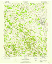
1956 · Portland
USGS Topo · 1:24,000