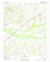
1965 Map of Gallaway
USGS Topo · Published 1974About this map
Louisville and Nashville railroad tracks cut a diagonal path across this Fayette County landscape, connecting the town of Gallaway to the surrounding rural communities of Longtown and Center Point. The mid-1960s terrain is heavily defined by agricultural water management, evidenced by straightened channels like the Loosahatchie River Canal, Little Cypress Creek Canal, and Laurel Creek Canal. These engineering efforts transformed the natural drainage of Wilder Creek and Cane Creek to support the local economy.
Find a feature on this map
47 named features on this map. Tap any name to fly to it.
Don’t see what you’re looking for? This feature index may not catch every label — zoom into the map to look around manually.
Map Details
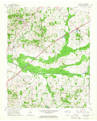
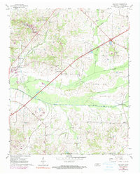
Editions of this 1965 Gallaway Map
3 editions found
Other maps of this area

1943 · Collierville
USGS Topo · 1:62,500

1949 · Moscow
USGS Topo · 1:62,500

1952 · Stanton
USGS Topo · 1:24,000

1952 · Lambert
USGS Topo · 1:24,000

1952 · Stanton
USGS Topo · 1:62,500

1953 · Collierville
USGS Topo · 1:50,000

1954 · Mason
USGS Topo · 1:62,500

1956 · Blytheville
USGS Topo · 1:250,000

1959 · Blytheville
USGS Topo · 1:250,000
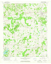
1965 · Oakland
USGS Topo · 1:24,000