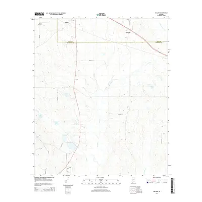
2014 Map of Gallion
USGS Topo · Published 2014About this map
Gallion and Allenville sit along the boundary of Hale Co and Marengo Co, marking a landscape defined by its agricultural roots and complex network of watercourses. The 2014 landscape is traversed by Us-80 and Al-69, providing a modern look at a region where historical burial grounds like John the Baptist Cem and Allenville Cem remain important landmarks for genealogical research. Numerous small bodies of water and named tributaries, including Powell Creek Lake Number Eight, Lake Henry, and Cottonwood Cr, illustrate the low-lying drainage patterns characteristic of this part of the Alabama Black Belt.
Find a feature on this map
38 named features on this map. Tap any name to fly to it.
Don’t see what you’re looking for? This feature index may not catch every label — zoom into the map to look around manually.
Map Details
Editions of this 2014 Gallion Map
This is the sole edition of this map. No revisions or reprints were ever made.
Other maps of this area

1946 · Demopolis
USGS Topo · 1:24,000

1947 · Demopolis
USGS Topo · 1:24,000

1953 · Montgomery
USGS Topo · 1:250,000

1956 · Montgomery
USGS Topo · 1:250,000

1957 · Montgomery
USGS Topo · 1:250,000

1968 · Thomaston East
USGS Topo · 1:24,000

1968 · Uniontown West
USGS Topo · 1:24,000

1968 · Thomaston West
USGS Topo · 1:24,000

1968 · Gallion
USGS Topo · 1:24,000

1970 · Old Spring Hill
USGS Topo · 1:24,000