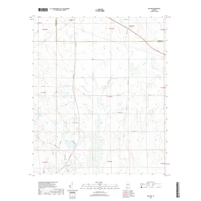
2018 Map of Gallion
USGS Topo · Published 2018About this map
Gallion and Allenville sit along the northern border of this West Alabama landscape, where the boundary between Marengo and Hale counties divides a terrain defined by slow-moving creeks and scattered wetlands. The area is marked by a network of rural routes such as AL Highway 69 and Allenville Rd, connecting small settlements and private estates. Notable water features including Moss Lake, Spencer Lake Two, and Fields Lake are interspersed with drainages like Powell Cr and Cottonwood Cr, illustrating the hydrology of the Black Belt region.
Find a feature on this map
46 named features on this map. Tap any name to fly to it.
Don’t see what you’re looking for? This feature index may not catch every label — zoom into the map to look around manually.
Map Details
Editions of this 2018 Gallion Map
This is the sole edition of this map. No revisions or reprints were ever made.
Other maps of this area

1946 · Demopolis
USGS Topo · 1:24,000

1947 · Demopolis
USGS Topo · 1:24,000

1953 · Montgomery
USGS Topo · 1:250,000

1956 · Montgomery
USGS Topo · 1:250,000

1957 · Montgomery
USGS Topo · 1:250,000

1968 · Thomaston East
USGS Topo · 1:24,000

1968 · Uniontown West
USGS Topo · 1:24,000

1968 · Thomaston West
USGS Topo · 1:24,000

1968 · Gallion
USGS Topo · 1:24,000

1970 · Old Spring Hill
USGS Topo · 1:24,000