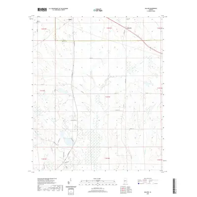
2020 Map of Gallion
USGS Topo · Published 2020About this map
The borderlands of Hale and Marengo counties define this western Alabama landscape, centered on the community of Gallion. The area is characterized by the meandering drainages of Cottonwood Creek, Powell Creek, and Little Dry Creek, which carve through a mosaic of agricultural land and wooded wetlands. Small settlements like Allenville are linked by a network of rural routes including AL Highway 69 and Allenville Road. Local history is preserved in sites such as John the Baptist Cemetery and Allenville Cemetery. Numerous small water bodies, including Lake Henry, Moss Lake, and Fields Lake, are scattered throughout the low-lying terrain, illustrating the hydrological character of the Black Belt region. The map reveals a land divided by traditional township and range lines, reflecting the enduring legacy of the Public Land Survey System in organizing this rural southern territory.
Find a feature on this map
41 named features on this map. Tap any name to fly to it.
Don’t see what you’re looking for? This feature index may not catch every label — zoom into the map to look around manually.
Map Details
Editions of this 2020 Gallion Map
This is the sole edition of this map. No revisions or reprints were ever made.
Other maps of this area

1946 · Demopolis
USGS Topo · 1:24,000

1947 · Demopolis
USGS Topo · 1:24,000

1953 · Montgomery
USGS Topo · 1:250,000

1956 · Montgomery
USGS Topo · 1:250,000

1957 · Montgomery
USGS Topo · 1:250,000

1968 · Thomaston East
USGS Topo · 1:24,000

1968 · Uniontown West
USGS Topo · 1:24,000

1968 · Thomaston West
USGS Topo · 1:24,000

1968 · Gallion
USGS Topo · 1:24,000

1970 · Old Spring Hill
USGS Topo · 1:24,000